NBC26 Storm Shield Forecast
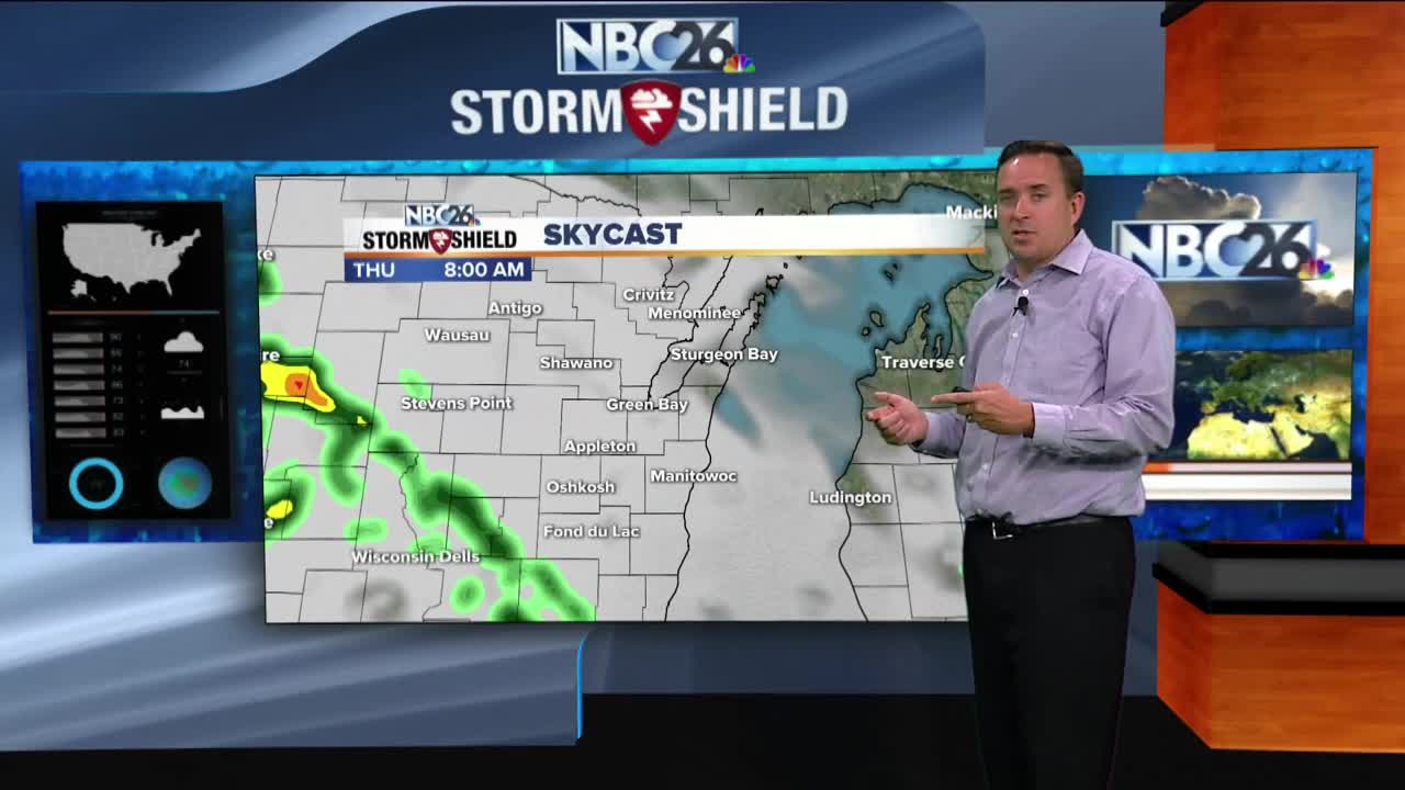
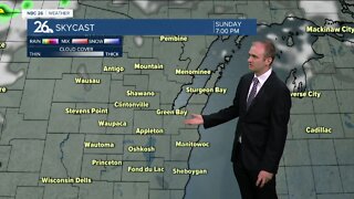
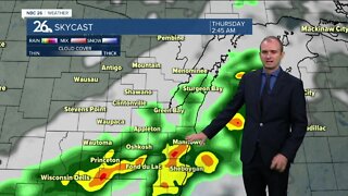
Today is going to be another active weather day, and if some of us get warm enough, especially to the south to the south, some strong t'storms will be possible this afternoon into the early evening. The farther you live to the north, the cooler things will be only in the 60s, but the farther you live to the south, you might get warm and humid this afternoon. Expect a dying batch of t'storms to approach this morning, but the t'storms will start to redevelop this afternoon and push south into the early evening. Some of these could produce gusty wind or hail. The tornado threat is low, but an isolated spin-up can't be ruled out. With the stationary front hanging around tonight, more showers or a few t'storms will stick around. With the current setup, a few heavy downpours will be possible. Lows will be in the upper-50s. Thursday, some showers or a t'storm may affect us at times, with locally heavy downpours possible again. Highs will struggle to make it to 70. Heavy rain will once again move through on Thursday night. Lows will be in the upper-50s. Friday will be windy with a stray shower possible. Highs will be in the low-70s. This is going to be a very soggy stretch, so make sure your gutters are draining properly and into the right areas.
-
 1:45
1:45
WGBA
1 year agoFond du Lac Cardinals start the football season with a new $5.3 million nest
275 -
 3:14
3:14
WGBA
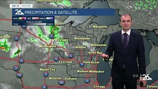
2 years agoGino Recchia NBC26 Weather Forecast
5 -
 3:14
3:14
WGBA
2 years agoGino Recchia NBC26 Weather Forecast
1 -
 3:36
3:36
WGBA
2 years agoGino Recchia NBC26 Weather Forecast
2 -
 3:20
3:20
WGBA
2 years agoGino Recchia NBC26 Weather Forecast
1 -
 2:49
2:49
KGUN
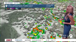
2 years agoAn above average storm forecast
2 -
 4:05
4:05
WGBA
2 years agoGino Recchia NBC26 Weather Forecast
5 -
 3:34
3:34
WGBA
2 years agoGino Recchia NBC26 Weather Forecast
1 -
 3:44
3:44
WGBA
2 years agoGino Recchia NBC26 Weather Forecast
-
 3:09
3:09
WGBA
2 years agoGino Recchia NBC26 Weather Forecast
5