Michael Fish's NBC26 weather forecast
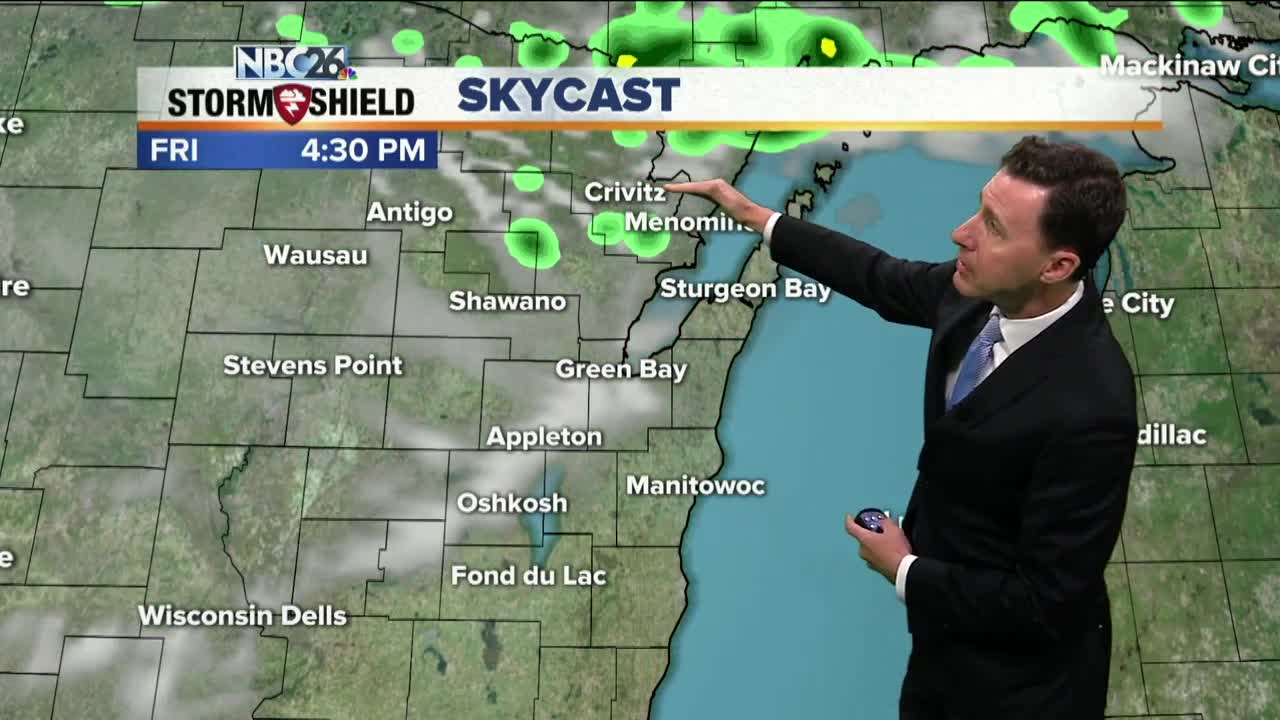
We have a very weak frontal boundary approaching from the north today. With it, a few isolated T'storms will develop along it north this afternoon. It's going to be a little more humid today with highs in the mid-80s. We'll cool things down lakeside. This evening, those isolated showers and T'storms will slowly be sinking south and may affect a little of Packers family night into the evening. It wouldn't be an all-night thing though with lows in the mid-60s. As we go into the weekend, the chance of stray showers and storms will stick around but we will have way more dry hours than any rain. High temperatures will be in the low- to mid-80s with plenty of humidity. A better chance of thunderstorms will return during the day either Monday or Tuesday as a cold front moves through. The models are having disagreeing on which day that front will push through. Behind the frontal passage, our temperatures will cool off into the 70s by either Wednesday or Thursday of next week. The long range outlook from the Climate Prediction Center indicates cooler than average temperatures as we go into the second week of August.
-
 1:45
1:45
WGBA
1 year agoStudents excited to start at "huge and beautiful" Vel Phillips Middle School
295 -
 4:08
4:08
WGBA
3 years agoBrittney's NBC26 Weather Forecast
1 -
 3:36
3:36
WGBA
3 years agoGino Recchia NBC26 Weather Forecast
4 -
 3:42
3:42
WGBA
3 years agoGino Recchia NBC26 Weather Forecast
3 -
 4:19
4:19
WGBA
3 years agoGino Recchia NBC26 Weather Forecast
5 -
 3:24
3:24
WGBA
3 years agoGino Recchia NBC26 Weather Forecast
1 -
 3:42
3:42
WGBA
3 years agoGino Recchia NBC26 Weather Forecast
14 -
 4:00
4:00
WGBA
3 years agoGino Recchia NBC26 Weather Forecast
8 -
 3:40
3:40
WGBA
3 years agoGino Recchia NBC26 Weather Forecast
7 -
 3:23
3:23
WGBA
3 years agoGino Recchia NBC26 Weather Forecast
6