NBC26 Storm Shield Forecast
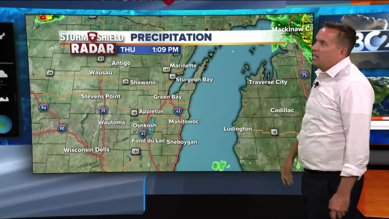
Lingering low clouds behind this morning's thunderstorm complex are keeping the heat in check this afternoon. Hot & humid conditions will develop on Friday & a Heat Advisory has now been issued for most of the area. More storms are possible tonight.....some could strong/severe with heavy rain. The hottest day of this latest heat wave is tomorrow, High temperatures will rise into the mid/upper 90s and then when you couple that with the high humidity levels, it will feel well into the 100s. This is why we have heat advisories already in place for some of the NBC26 viewing area. A cold front is going to move in on Saturday bringing more thunderstorms to the area but more importantly, giving us some relief from the heat and humidity. Temperatures will fall into the upper 70s and lower 80s from Sunday through early next week. Sunday and Monday looks to be mostly sunny, and then a small chance of storms return on Tuesday and Wednesday.
-
 1:57
1:57
WGBA
1 year agoHow the City of Green Bay is hoping a $1.6M investment will make the community safer for pedestrians
3401 -
 4:08
4:08
WGBA
3 years agoBrittney's NBC26 Weather Forecast
1 -
 2:37
2:37
WXYZ
3 years agoMetro Detroit Forecast: Weekend winter storm
17 -
 3:43
3:43
WGBA
3 years agoGino Recchia NBC26 Weather Forecast
6 -
 4:09
4:09
WGBA
3 years agoGino Recchia NBC26 Weather Forecast
2 -
 3:02
3:02
WGBA
3 years agoGino Recchia NBC26 Weather Forecast
6 -
 3:20
3:20
WGBA
3 years agoGino Recchia NBC26 Weather Forecast
11 -
 2:48
2:48
WGBA
3 years agoGino Recchia NBC26 Weather Forecast
1 -
 3:25
3:25
WGBA
3 years agoGino Recchia NBC26 Weather Forecast
4 -
 3:20
3:20
WGBA
3 years agoGino Recchia NBC26 Weather Forecast
12