NBC26 Storm Shield weather forecast
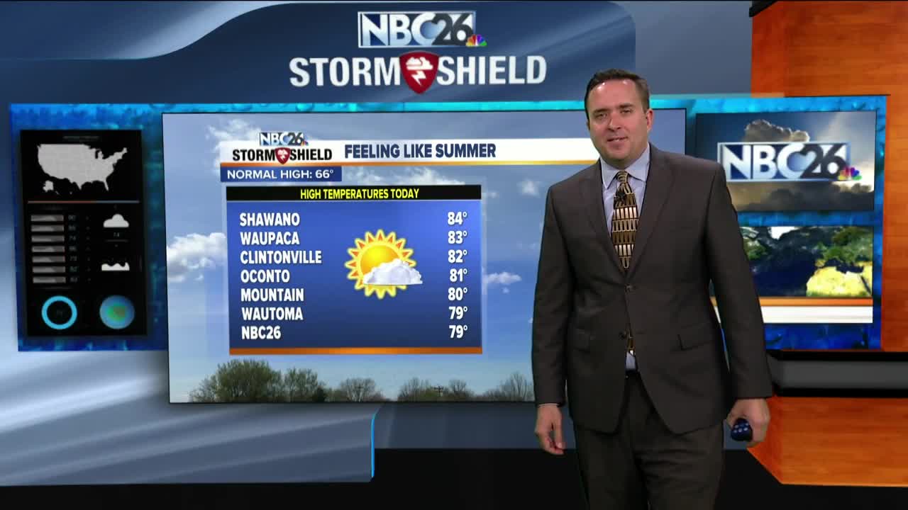
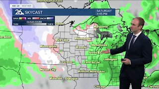
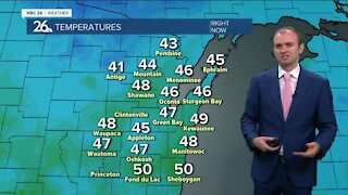
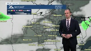
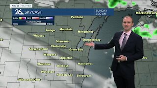
It felt like summer on Thursday with highs in the 70s & 80s!! Hope you enjoyed it........we won't see temps that warm again for the foreseeble future!! Some of us could see a few widely scattered showers and T'storms in the evening as a cold front passes through. This will come to an end though, then we may have some partial clearing after that with lows in the upper-40s. Most of Friday looks dry, but a little cooler with highs only in the upper-50s to low-60s, though cooler lakeside thanks to gusty NE winds. There will be a slight chance of a shower or T'storm, mainly southwest of the Fox Cities. Most of the activity starts to arrive as we head into Friday night. Rain will be rolling through at times during the weekend weekend making it potentially another soggy stretch for Northeast Wisconsin. As of right now, Saturday will have some showers developing or possibly a T'storm, but it shouldn't be a total wash. Sunday may be the rainier of the two weekend days. Depending on where the frontal boundary sets up over the weekend......highs will range form the 40s/50s/60s to the 70s/80s farther south in Wisconsin. As of right now, it looks like Northeast Wisconsin will probably stay on the cooler side of this, but with the warm air close, we still may have a T'storm embedded with the rain. Over the next 3-5 days the rain totals will start to add up with many spots seeing 2-3"+ of rain!!
-
 0:30
0:30
WGBA
1 year agoThree Degree Guarantee
359 -
 3:20
3:20
WGBA
3 years agoGino Recchia NBC26 Weather Forecast
11 -
 3:06
3:06
WGBA
3 years agoGino Recchia NBC26 Weather Forecast
1 -
 3:18
3:18
WGBA
3 years agoGino Recchia NBC26 Weather Forecast
7 -
 3:00
3:00
WGBA
3 years agoGino Recchia NBC26 Weather Forecast
4 -
 3:57
3:57
WGBA
3 years agoGino Recchia NBC26 Weather Forecast
5 -
 3:33
3:33
WGBA
3 years agoGino Recchia NBC26 Weather Forecast
3 -
 2:38
2:38
WGBA
3 years agoGino Recchia NBC26 Weather Forecast
3 -
 3:13
3:13
WGBA
3 years agoGino Recchia NBC26 Weather Forecast
1 -
 3:54
3:54
WGBA
3 years agoGino Recchia NBC26 Weather Forecast
61