Michael Fish's NBC26 weather forecast
Most of today looks dry, aside from the slight chance of a stray sprinkle or shower redeveloping in the afternoon. We'll have the sun returning with with highs in the lower/mid 70s as winds turn back to the NE. That means if you live by Lake Michigan, it's going to get much cooler in the afternoon. Tonight, clouds will be on the increase with lows in the upper-40s. Thursday, there will be a chance of scattered showers or T'storms. Highs will be in the lower/mid 70s. Most of Friday looks dry, but a little cooler with highs only in the low-60s, though cooler lakeside. The risk of rainfall increases again into the weekend making it potentially another wet period for Northeast Wisconsin. Just what we don't need. Depending on where the frontal boundary sets up over the weekend......highs will range form the 40s/50s/60s to the 70s/80s farther south in Wisconsin. As of right now, it looks like Northeast Wisconsin will probably stay on the cooler side of this, but with the warm air close, we still may have a T'storm embedded with the rain.
-
 2:32
2:32
WGBA
5 years agoMichael Fish's NBC26 weather forecast
7 -
 2:24
2:24
WGBA
5 years agoMichael Fish's NBC26 weather forecast
11 -
 14:17
14:17
Great Lakes Weather
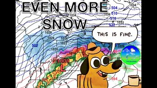
8 months agoStrong Thunderstorms Possible in Michigan Tomorrow; Snow In the Forecast -Great Lakes Weather
18 -
 13:25
13:25
Great Lakes Weather
7 months agoNarrow Band of Heavy Snow Possible In Michigan Friday Morning -Great Lakes Weather
38 -
 10:34
10:34
Great Lakes Weather
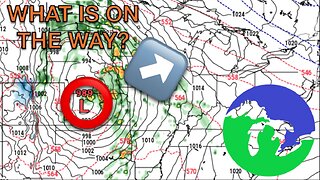
10 months agoThunderstorms Tuesday; Quiet Pattern Ahead with Gradual Warming Trend -Great Lakes Weather
8 -
 12:19
12:19
Great Lakes Weather
2 years agoMore Active Weather Ahead, Thunderstorms AND Snow in One Week -Great Lakes Weather
4 -
 15:19
15:19
Great Lakes Weather
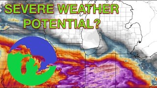
1 year agoSevere Weather Potential Returns to the Great Lakes Region -Great Lakes Weather
4 -
 31:46
31:46
Great Lakes Weather
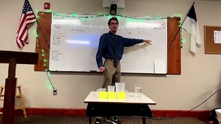
1 year agoWhat’s In A Forecast? -Great Lakes Weather
3 -
 14:50
14:50
Great Lakes Weather
2 months ago $0.20 earnedMid-Week System May Bring Severe Weather & Cooler Air to the Great Lakes
4371 -
 10:20
10:20
Great Lakes Weather
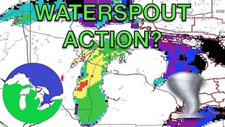
9 months agoWaterspouts Likely Over Lake Michigan Tomorrow Afternoon/Night -Great Lakes Weather
3