Michael Fish's NBC26 weather forecast
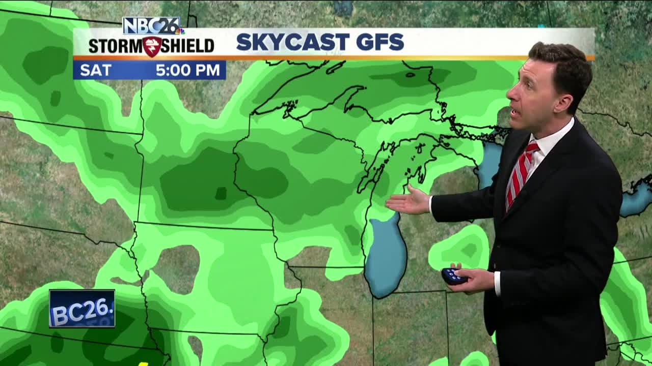
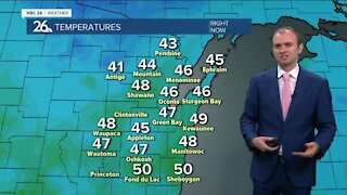
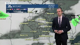
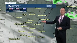
Today is going to be a really nice day. Clouds will slowly increase in the afternoon Tuesday ahead of the next weak system on the way. Who really cares though with highs around 70°, though cooler readings will be possible near Lake Michigan. We'll have a weak frontal boundary pass through late tonight which may touch off a stray shower or sprinkle. Most of your night will be fine with lows around 50°. Most of Wednesday looks dry, aside from the slight chance of a stray sprinkle or shower early in the day. We'll have the sun returning with with highs in the upper-60s to near 70° as winds turn back to the SE. That means if you live by Lake Michigan, it's going to get much cooler in the afternoon. Wednesday night, clouds will be on the increase with lows in the mid-40s. Thursday, there will be a chance of scattered showers or T'storms, but it doesn't look to be an all-day event at the moment. Highs will be in the upper-60s. The risk of rainfall increases again into the weekend making it potentially another wet period for Northeast Wisconsin. Just what we don't need. Depending on where the frontal boundary sets up over the weekend......highs will range form the 50s/60s to the 70s/80s farther south. As of right now, it looks like Northeast Wisconsin may stay on the cooler side of this, but with the warm air close, we still may have some T'storms rolling through.
-
 1:45
1:45
WGBA
1 year agoFond du Lac Cardinals start the football season with a new $5.3 million nest
282 -
 3:20
3:20
WGBA
3 years agoGino Recchia NBC26 Weather Forecast
11 -
 3:18
3:18
WGBA
3 years agoGino Recchia NBC26 Weather Forecast
7 -
 3:00
3:00
WGBA
3 years agoGino Recchia NBC26 Weather Forecast
4 -
 3:33
3:33
WGBA
3 years agoGino Recchia NBC26 Weather Forecast
3 -
 2:38
2:38
WGBA
3 years agoGino Recchia NBC26 Weather Forecast
3 -
 3:13
3:13
WGBA
3 years agoGino Recchia NBC26 Weather Forecast
1 -
 3:54
3:54
WGBA
3 years agoGino Recchia NBC26 Weather Forecast
61 -
 4:05
4:05
WGBA
3 years agoGino Recchia NBC26 Weather Forecast
1 -
 4:11
4:11
WGBA
3 years agoGino Recchia NBC26 Weather Forecast
3