Gino Recchia NBC26 Storm Shield Weather Forecast
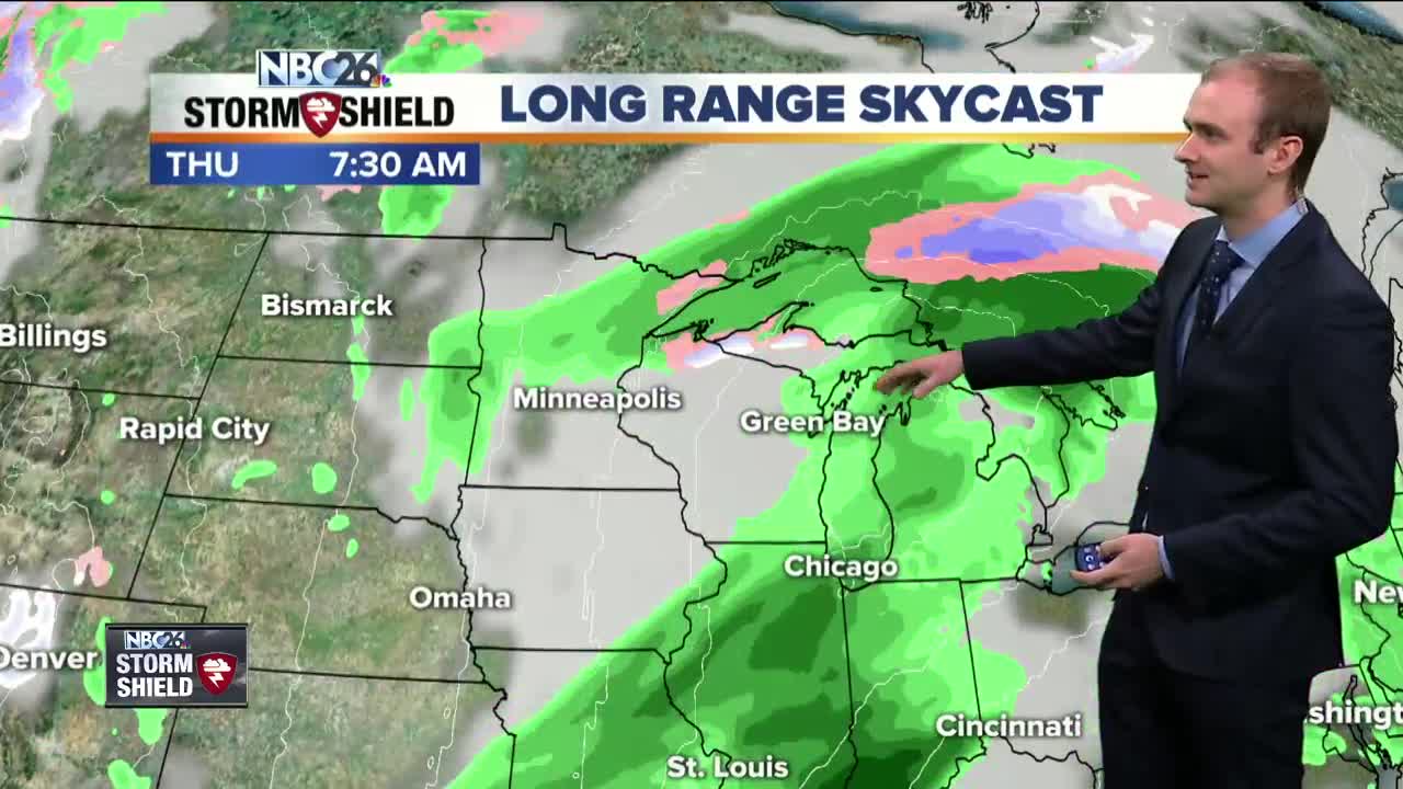
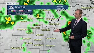
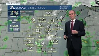
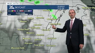
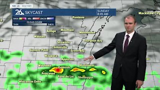
It was a beautiful start to the work week with a lot of sunshine and temperatures back up into the lower and mid 50s away from the lake, but this morning it is a bit of a different story. We have a weak disturbance passing through our area which started raining overnight and continues into this early morning. On and off showers will persist into the mid morning hours and then we will dry out in the afternoon. Winds are going to be out of the northeast today around 5 to 10 mph, but that will keep lakeside areas down in the 40s but further inland we will have highs in the mid and upper 50s. Some locations may possibly reach 60. More rainfall and thunderstorms are well move in tomorrow. A strong storm is going to pull in plenty of moisture from the Gulf of Mexico. Rainfall totals by Friday will range between 1 and 2 inches with some localized higher totals. Temperatures will be in the lower 40s by the lake and upper 40s/ lower 50s inland on Wednesday. Winds will pick up out of the northeast between 10 and 20 mph. We have 60s returning for the weekend and even flirting with 70 for your Easter Sunday.
-
 1:57
1:57
WGBA
1 year agoHow the City of Green Bay is hoping a $1.6M investment will make the community safer for pedestrians
4422 -
 4:05
4:05
WGBA
3 years agoGino Recchia NBC26 Weather Forecast
1 -
 3:45
3:45
WGBA
3 years agoGino Recchia NBC26 Weather Forecast
1 -
 3:45
3:45
WGBA
3 years agoGino Recchia NBC26 Weather Forecast
10 -
 2:30
2:30
WGBA
3 years agoGino Recchia NBC26 Weather Forecast
71 -
 3:40
3:40
WGBA
3 years agoGino Recchia NBC26 Weather Forecast
1 -
 3:34
3:34
WGBA
3 years agoGino Recchia NBC26 Weather Forecast
6 -
 2:57
2:57
WGBA
3 years agoGino Recchia NBC26 Weather Forecast
1 -
 3:30
3:30
WGBA
3 years agoGino Recchia NBC26 Weather Forecast
14 -
 3:22
3:22
WGBA
3 years agoGino Recchia NBC26 Weather Forecast
2