
NBC26 Storm Shield weather forecast
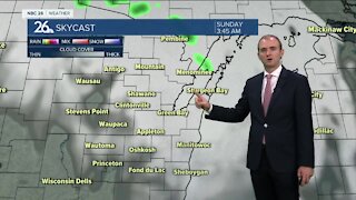
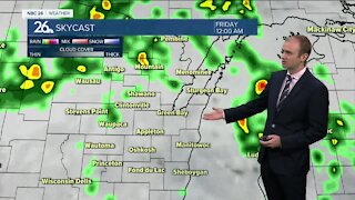
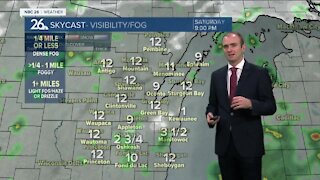
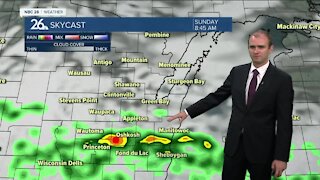
A frontal boundary will approach the area tonight! With it.....clouds, showers & maybe a rumble of thunder!! This will kick off an active week across the state with multiple chance of rain. After an AM shower.......Tuesday will be mostly cloudy. High temperatures will range from the upper 40s to the upper 50s with gusty northeast winds cooling it off near the Lake & Bay in the afternoon. Steady rainfall begins to move in for the middle of the work week and continues until Friday morning. We will see total rainfall amounts between three quarters of an inch to two inches. With rivers and streams at elevated levels from the recent snow melt, this could aggravate the problem once again. A few storms are also possible, Gusty NE winds will keep temps mainly in the 40s but some 50s/60s are "possible" if we get into the warm sector Thursday morning. Easter weekend does appear dry and warmer at this time with highs in the 50s on Saturday and 60s/70s on Sunday.
-
 1:57
1:57
WGBA
1 year agoHow the City of Green Bay is hoping a $1.6M investment will make the community safer for pedestrians
3711 -
 4:05
4:05
WGBA
3 years agoGino Recchia NBC26 Weather Forecast
1 -
 2:30
2:30
WGBA
3 years agoGino Recchia NBC26 Weather Forecast
71 -
 3:34
3:34
WGBA
3 years agoGino Recchia NBC26 Weather Forecast
6 -
 2:57
2:57
WGBA
3 years agoGino Recchia NBC26 Weather Forecast
1 -
 3:45
3:45
WGBA
3 years agoGino Recchia NBC26 Weather Forecast
1 -
 3:45
3:45
WGBA
3 years agoGino Recchia NBC26 Weather Forecast
10 -
 3:40
3:40
WGBA
3 years agoGino Recchia NBC26 Weather Forecast
1 -
 3:30
3:30
WGBA
3 years agoGino Recchia NBC26 Weather Forecast
12 -
 2:55
2:55
WGBA
3 years agoGino Recchia NBC26 Weather Forecast
5