Gino Recchia NBC26 Storm Shield Weather Forecast
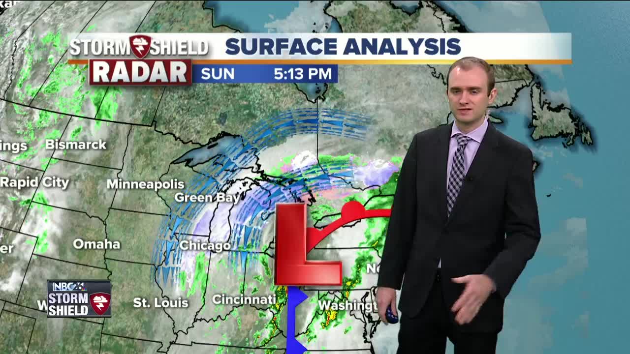
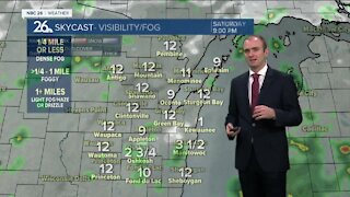
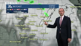
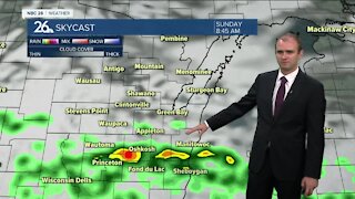
Skies will begin to gradually clear from west to east as a storm that stayed to the south of us today begins to move east to Michigan. Temperatures will fall into the mid and upper 20s overnight with light winds out of the northeast at 5 to 10 mph. Sunshine kicks off the new week with high temperatures rising into the lower and mid 50s. Winds will be out of the northwest around 5 to 10 mph. Monday night, we will cool off into the mid 30s with a gradual increase in cloud cover and winds out of the south around 5 to 10 mph. Tuesday will be mostly cloudy and there could be a stray rain shower or two. High temperatures will be in the upper 50s with northeast winds at 5 to 10 mph. Steady rainfall begins to move in for the middle of the work week and continues until Friday night. We will see total rainfall amounts between three quarters of an inch to two inches. With rivers and streams at elevated levels from the recent snow melt, this could aggravate the problem once again. Easter weekend does appear dry and mid at this time with highs in the lower 50s on Saturday and near 60 degrees on Sunday.
-
 0:30
0:30
WGBA
1 year agoThree Degree Guarantee
234 -
 4:05
4:05
WGBA
3 years agoGino Recchia NBC26 Weather Forecast
1 -
 3:45
3:45
WGBA
3 years agoGino Recchia NBC26 Weather Forecast
10 -
 2:30
2:30
WGBA
3 years agoGino Recchia NBC26 Weather Forecast
71 -
 3:40
3:40
WGBA
3 years agoGino Recchia NBC26 Weather Forecast
1 -
 3:34
3:34
WGBA
3 years agoGino Recchia NBC26 Weather Forecast
6 -
 2:57
2:57
WGBA
3 years agoGino Recchia NBC26 Weather Forecast
1 -
 3:30
3:30
WGBA
3 years agoGino Recchia NBC26 Weather Forecast
12 -
 3:22
3:22
WGBA
3 years agoGino Recchia NBC26 Weather Forecast
-
 2:55
2:55
WGBA
3 years agoGino Recchia NBC26 Weather Forecast
5