
Gino Recchia NBC26 Storm Shield Weather Forecast
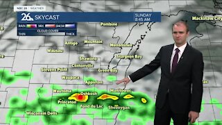
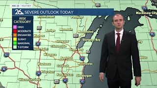
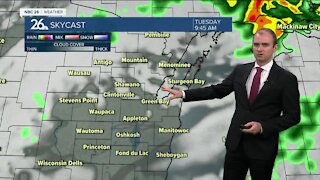
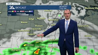
The warmest day of the week arrives today with temperatures climbing more than 10 degrees above normal for this time of the year. Highs will get into the upper 50s. I would not be surprised if a few locations do get into the 60-degree territory. With the warmer air though, does come some breezy winds to bring this mild air northward. Winds will be picking up by the afternoon out of the southwest around 15 to 25 mph with gusts near 30 mph possible. A low pressure is going to move into Canada with a warm front extending south through the Badger state. This is why we are going to get so mild today. There is the potential for a stray shower, especially up to the Northwoods in the afternoon, but the rest of the area will remain under partly to mostly cloudy skies. Tonight, the cold front will swing through and that will change winds out of the west and northwest. Temperatures will drop into lower 40s under partly cloudy to mostly cloudy conditions. The clouds do stick around for our Thursday with temperatures being slightly cooler in the lower 50s but still above average for this time of the year where our highs should be in the mid-40s. Winds will be coming in out of the north around 5 to 10 mph. Temperatures will be slightly cooler than Thursday with highs in the upper 40s to near 50 degrees. Skies will remain partly cloudy to mostly cloudy. There is a developing storm that will move north from the Southern Plains but a strong high pressure to our northwest will be acting as a block, preventing it from moving into the Upper Midwest. It does appear right now the best chance of rain and or wintry mix will remain over Southern Wisconsin with Northeast Wisconsin just seeing the cloudy skies. High temperatures will be in the lower 40s on Saturday and Sunday. With winds blowing out of the north and northeast, lakeside areas will be slightly cooler than inland locations.
-
 1:45
1:45
WGBA
1 year agoFond du Lac Cardinals start the football season with a new $5.3 million nest
360 -
 3:30
3:30
WGBA
3 years agoGino Recchia NBC26 Weather Forecast
14 -
 2:55
2:55
WGBA
3 years agoGino Recchia NBC26 Weather Forecast
5 -
 2:53
2:53
WGBA
3 years agoGino Recchia NBC26 Weather Forecast
1 -
 3:13
3:13
WGBA
3 years agoGino Recchia NBC26 Weather Forecast
5 -
 3:24
3:24
WGBA
3 years agoGino Recchia NBC26 Weather Forecast
1 -
 3:24
3:24
WGBA
3 years agoGino Recchia NBC26 Weather Forecast
2 -
 3:32
3:32
WGBA
3 years agoGino Recchia NBC26 Weather Forecast
6 -
 3:14
3:14
WGBA
3 years agoGino Recchia NBC26 Weather Forecast
3 -
 3:24
3:24
WGBA
3 years agoGino Recchia NBC26 Weather Forecast
2