NBC26 Storm Shield weather forecast
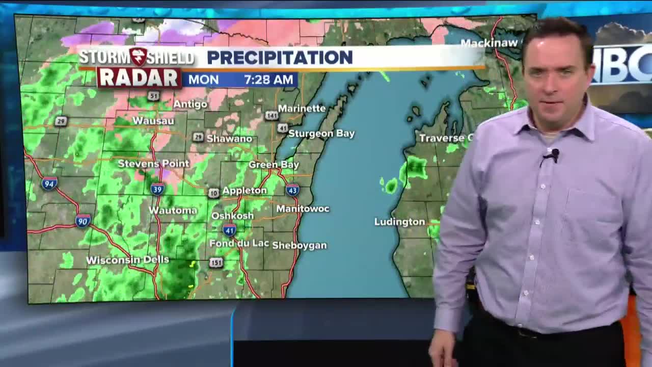
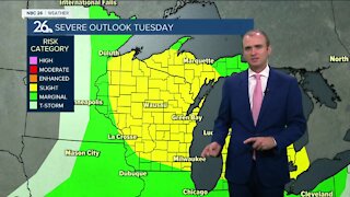
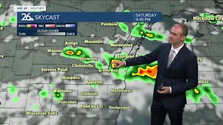
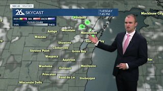
Some of us are starting with some rain that is freezing on the cold pavement this morning. Salt will take care of this problem with the mild temperatures, but some places well to the north are dealing with rain and drizzle falling with temperatures at or below freezing, they're seeing this stick to trees and power lines. Because of this, an Ice Storm Warning is in effect for northern Marinette County and Menominee County, Michigan for the threat of freezing rain. Highs for many of us from the Fox Cities south will be in the low- to mid-40s, but colder temperatures north. Most of this is out of here tonight as things become much colder with overnight lows in the upper-single digits. Highs on Tuesday will be back in the upper teens after Mondays highs in the mid 40s south of Highway 29, and lower to upper 30s north of Highway 29. The next chance of snow or wintry mix moves in late Tuesday into Tuesday night. 1-3" of snow currently is projected with the highest totals north. Soon after, another system moves in Thursday into Friday morning with some snow or wintry mix. Saturday will be dry but then another round of snow is possible on Sunday. Temperatures over the next 7 days are generally going to be below average but there is no big arctic blast in the foreseeable future at least.
-
 1:45
1:45
WGBA
1 year agoStudents excited to start at "huge and beautiful" Vel Phillips Middle School
388 -
 4:13
4:13
WGBA
4 years agoGino Recchia NBC26 Weather Forecast
31 -
 4:13
4:13
WGBA
4 years agoGino Recchia NBC26 Weather Forecast
41 -
 3:36
3:36
WGBA
4 years agoGino Recchia NBC26 Weather Forecast
10 -
 3:29
3:29
WGBA
4 years agoGino Recchia NBC26 Weather Forecast
12 -
 4:09
4:09
WGBA
4 years agoGino Recchia NBC26 Weather Forecast
11 -
 3:28
3:28
WGBA
4 years agoGino Recchia NBC26 Weather Forecast
11 -
 3:46
3:46
WGBA
4 years agoGino Recchia NBC26 Weather Forecast
13 -
 3:32
3:32
WGBA
4 years agoGino Recchia NBC26 Weather Forecast
17 -
 2:33
2:33
WGBA
4 years agoGino Recchia NBC26 Weather Forecast
15