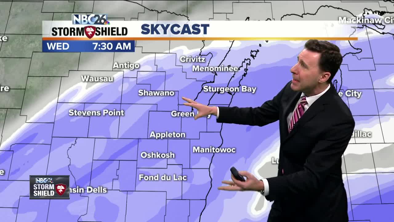
Michael Fish's NBC26 Storm Shield weather forecast
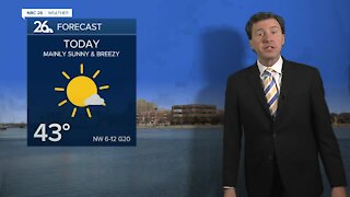
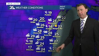
The brunt of this system will be affecting much of the area today, especially this morning. A strengthening low pressure will be passing to our south. With it, a swath of snow will be passing through the area. Closer to the low pressure, to the southeast, is where we'll see the most snow where another 3-6" may fall. In the middle for the Fox Cities and Appleton, another 2-4" will fall. There will be much less to the northwest. Winds will pick up a bit, which could create a little blowing and drifting. Highs today will be in the mid-20s. Tonight, besides a few flurries possible early, it should be a mainly dry night with mostly cloudy skies. Lows will be around 10. Enjoy Thursday's temperatures because the arctic blast is going to be knocking on the door. We could see an isolated snow shower or flurry with highs in the low-20s. The wind is going to be cranking up, and that will be ushering in the frigid air. It is going to get very cold on Thursday night, and it's going to be windy. With overnight lows of -10 or colder, our wind chills will plummet to -20 to -35 through the night. Wind chill headlines will be likely going into Friday morning. We may not even make it above 0 on Friday. This bitter blast looks to linger into next Wednesday at least. Welcome back, winter.
-
 1:45
1:45
WGBA
1 year agoFond du Lac Cardinals start the football season with a new $5.3 million nest
256 -
 2:33
2:33
WGBA
3 years agoMichael Fish's NBC 26 weather forecast
4 -
 2:19
2:19
WGBA
3 years agoMichael Fish's NBC 26 weather forecast
3 -
 2:26
2:26
WGBA
3 years agoMichael Fish's NBC 26 weather forecast
4 -
 2:24
2:24
WGBA
3 years agoMichael Fish's NBC 26 weather forecast
3 -
 2:27
2:27
WGBA
3 years agoMichael Fish's NBC 26 weather forecast
4 -
 1:57
1:57
WGBA
3 years agoMichael Fish's NBC 26 weather forecast
2 -
 2:31
2:31
WGBA
3 years agoMichael Fish's NBC 26 weather forecast
7 -
 1:50
1:50
WGBA
3 years agoMichael Fish's NBC 26 weather forecast
4 -
 2:27
2:27
WGBA
3 years agoMichael Fish's NBC 26 weather forecast
1