LIGHTNING STORMS + HEAT WAVE & COOL DOWN
Dangerous #Heat in the West; Coastal Flooding & High Rip Current Risk into the Weekend on the East Coast; Flash Flooding Possible in the Southeast #weather #meteorology #forecast
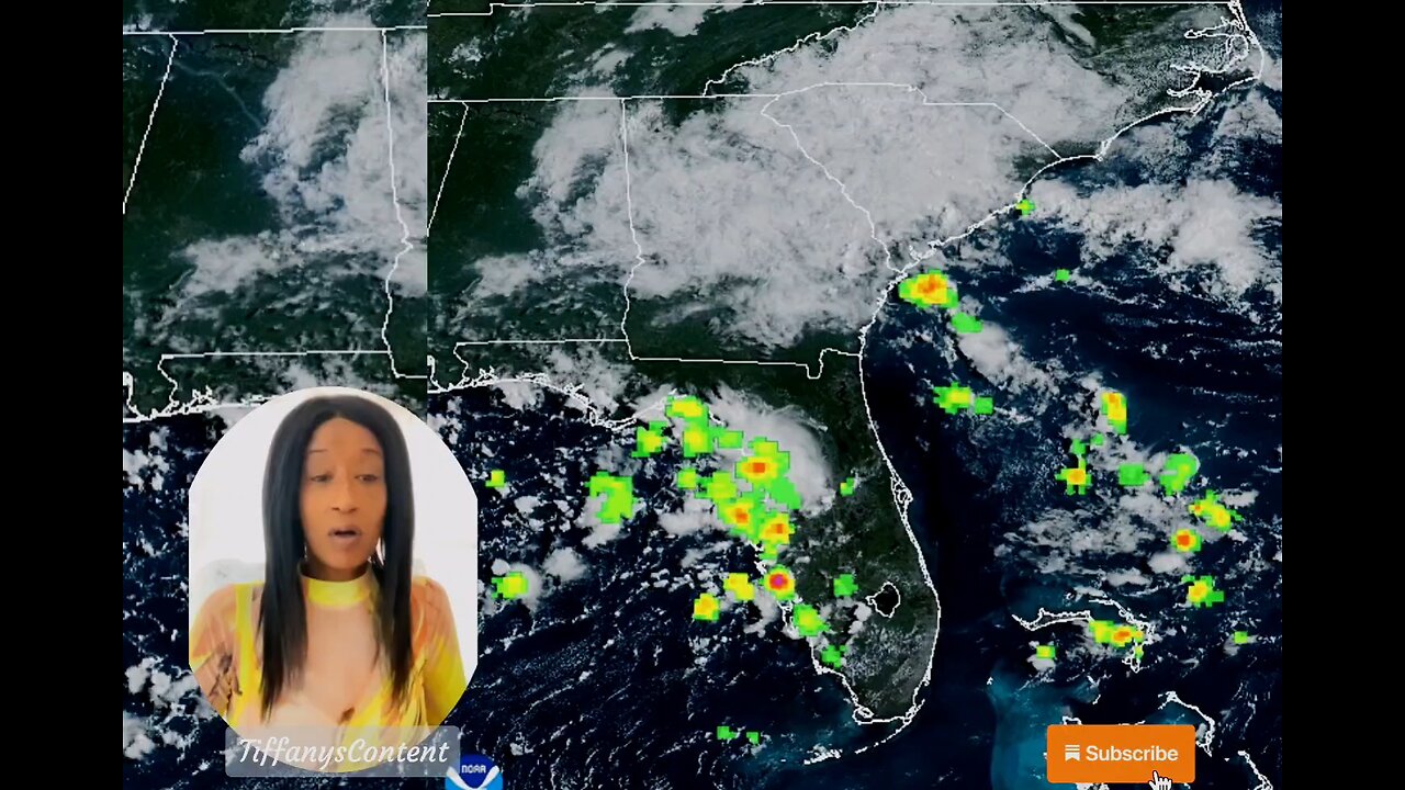
A dangerous, record heat wave continues for the Desert Southwest and the Central Valley of California through Saturday, and the Pacific Northwest through Tuesday. Coastal flooding is expected through tonight at high tide along the Eastern Seaboard from Erin, while the high rip current risk and dangerous surf continue through the weekend. Flash flooding possible today in Georgia and South Carolina. Read More >Active Systems:
The National Hurricane Center is issuing advisories on Hurricane
Erin, located over the northwestern Atlantic Ocean.
1. Near the Leeward Islands (AL90):
Showers and thunderstorms are showing some signs of organization in
association with a tropical wave located about a hundred miles
east-northeast of the northern Leeward Islands. Environmental #news
conditions appear conducive for further development of this system,
and a tropical depression or tropical storm is very likely to form
this weekend while it moves northwestward and then northward, in
between the northern Leeward Islands and Bermuda.
* Formation chance through 48 hours...high...80 percent.
* Formation chance through 7 days...high...90 percent. #tropicalstorm
2. Central Tropical Atlantic (AL99):
Showers and thunderstorms associated with a tropical wave located
about midway between Africa and the Windward Islands have become
less organized overnight. While there is still some chance that a
short-lived tropical depression could form during the next day or
so, the system is expected to move through a less conducive
environment into Saturday. The wave could reach a slightly more
favorable environment again late this weekend into early next week
as it moves westward at 10 to 15 mph over the central tropical
Atlantic and approaches the Lesser Antilles.
* Formation chance through 48 hours...medium...40 percent.
* Formation chance through 7 days...medium...50 percent.
3. Central Subtropical Atlantic:
A small area of low pressure located well southwest of the Azores
has weakened overnight, and no development is expected while it
drifts northward.
* Formation chance through 48 hours...low...near 0 percent.
* Formation chance through 7 days...low...near 0 percent.
Forecaster Blake nhc
other sources
nhc
tropical tidbits
star nesdis noaa gov
weather gov
spaghettimodels
-
 2:00:45
The Michelle Moore Show
17 hours ago'President Trump on Heaven, Vaccines, and Pam Bondi' Guest, Lt. Mark Taylor: The Michelle Moore Show (Oct 13, 2025)
16K93 -
 8:13
8:13
GritsGG
12 hours agoMy Thoughts on BF6 & Warzone! Rank 1 Player Discusses!
942 -
 LIVE
LIVE
Lofi Girl
2 years agoSynthwave Radio 🌌 - beats to chill/game to
130 watching -
 1:47:20
Badlands Media
14 hours agoBaseless Conspiracies Ep. 154: The Death of Kurt Cobain – Murder, Media, and the Cover-Up
38.9K37 -
 2:04:08
Inverted World Live
8 hours agoRex Jones Calls In From The Gray Area | Ep. 122
41.9K5 -
 5:56:17
Rallied
10 hours ago $5.64 earnedBF6 with THE BOYS
41.2K4 -
 1:05:18
Flyover Conservatives
1 day agoThe SEAL-Turned-CEO Paying Off Millions in Veteran Medical Debt: JOIN THE MISSION! - Bear Handlon, Born Primitive | FOC Show
56.7K4 -
 5:02:21
Drew Hernandez
12 hours agoTRUMP'S GAZA PEACE PLAN PHASE 1 & TRUMP THREATENS PUTIN WITH TOMAHAWKS
36K22 -
 1:18:38
Glenn Greenwald
10 hours agoProf. John Mearsheimer on Trump's Knesset Speech, the Israel/Hamas Ceasefire, Russia and Ukraine, and More | SYSTEM UPDATE #530
126K82 -
 2:21:37
Tucker Carlson
8 hours agoAlex Jones Warns of the Globalist Death Cult Fueling the Next Civil War and Rise of the Antichrist
101K434