MORE Tropical Systems IGNITING As COOLDOWN Sweeps In...
in this comprehensive forecast video I provide y'all with an urgent update on Hurricane Erin, currently a Category 2 storm in the North Atlantic as of August 19th with forecasts showing it nudging westward and posing risks to U.S. beaches including high seas, rip currents, and rough surf along the East Coast.
A state of emergency has been declared in North Carolina as coastal communities brace for impacts from this powerful system.
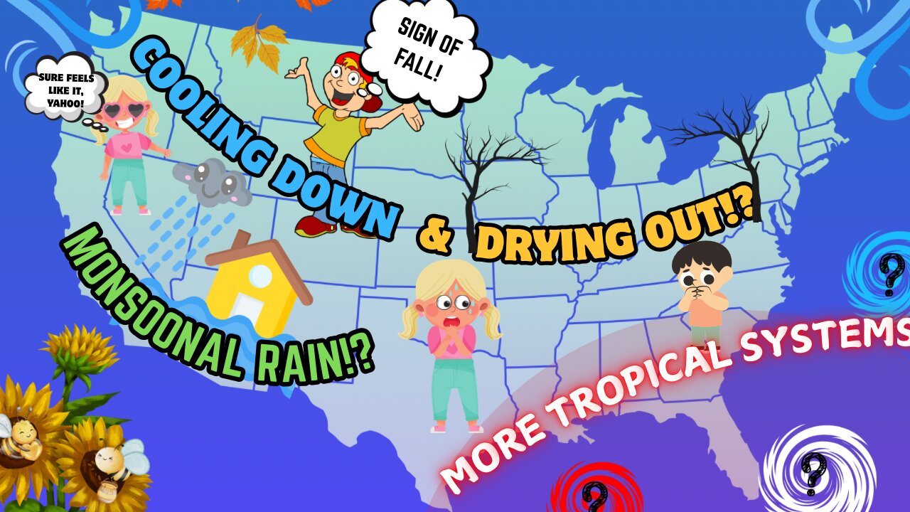
But Erin isn't alone—more tropical systems are developing in the Atlantic, including Invest 99-L and other areas of interest with up to a 60% chance of cyclone formation in the coming week, potentially spinning up new storms behind it.
Shifting to the homeland, a major cooldown is on the way, bringing fall-like chills to the eastern U.S., Midwest, and Northeast, with Arctic blasts signaling an early taste of autumn by late August.
In the Southwest, monsoonal moisture is ramping up, delivering showers and thunderstorms across Arizona and New Mexico, with 1-2 inches of rain possible in spots and risks of isolated flooding.
And much more: Dive into extended outlooks, safety tips for hurricane prep and monsoon travel, regional breakdowns, and what this means for your week ahead. Whether you're on the coast or inland, we've got you covered!If you found this helpful, smash that like button, subscribe for daily weather insights, and turn on notifications. Comment below: What's the weather like where you are?#WeatherUpdate #HurricaneErin #TropicalStorms #FallCooldown #MonsoonRain #USForecast
-
 28:26
28:26
DeVory Darkins
13 hours ago $12.94 earnedDemocrats BEG FOR MERCY after Kimmel suspension as Trump drops bomb on terrorist left
154K86 -
 8:07
8:07
The Officer Tatum
17 hours agoScott Jennings UNLEASHES On CNN Panel FEELING SORRY FOR SHOOTER
130K132 -
 2:05:40
Inverted World Live
10 hours agoThe Simulation is Burning & Missile Hits UFO in China | Ep. 110
159K20 -
 2:00:48
The Charlie Kirk Show
9 hours agoTHOUGHTCRIME Ep. 97 — The Thoughtcrime WILL Continue
137K98 -
 35:08
35:08
Colion Noir
14 hours agoA Bear, an AR-15, and a Home Invasion
43.7K7 -
 3:05:55
TimcastIRL
10 hours agoJimmy Kimmel Refuses To Apologize Over Charlie Kirk Comments, Blames Gun Violence | Timcast IRL
206K193 -
 2:44:24
Laura Loomer
13 hours agoEP144: Trump Cracks Down On Radical Left Terror Cells
61.1K26 -
 4:47:56
Drew Hernandez
15 hours agoLEFTISTS UNITE TO DEFEND KIMMEL & ANTIFA TO BE DESIGNATED TERRORISTS BY TRUMP
56.1K24 -
 1:12:32
The Charlie Kirk Show
10 hours agoTPUSA AT CSU CANDLELIGHT VIGIL
117K62 -
 6:53:45
Akademiks
13 hours agoCardi B is Pregnant! WERE IS WHAM????? Charlie Kirk fallout. Bro did D4VID MURK A 16 YR OLD GIRL?
93.1K9