Air Quality Concerns; Fire Weather in the West; Flash Flooding in the Southeast +TROPICS
Air Quality Concerns; Fire Weather in the West; Flash Flooding in the Southeast
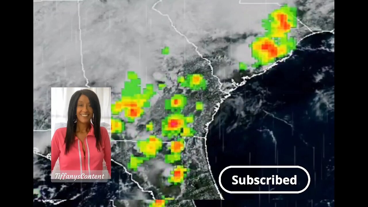
Wildfire smoke continues to result in poor air quality from the Upper Midwest into the Northeast. Multiple days of hot, dry and windy conditions are expected to bring fire weather concerns for portions of the Four Corners region into the central Great Basin and Rockies. Heavy rainfall and a flash flooding threat continues in the Southeast. Severe thunderstorms continue across the Northern Plainsthe North Atlantic...Caribbean Sea and the Gulf of America:
Active Systems:
The National Hurricane Center is issuing advisories on Tropical
Storm Dexter, located over the northwestern Atlantic Ocean.
1. Off the Southeastern United States:
A weak surface trough currently located several hundred miles off
the coast of the southeastern United States is expected to form an
area of low pressure in a day or so. Thereafter, environmental
conditions appear favorable for gradual development of this system,
and a tropical depression could form by the latter portion of this
week or weekend as as the low initially moves slowly westward, but
turns more northward by this weekend.
* Formation chance through 48 hours...low...10 percent.
* Formation chance through 7 days...medium...40 percent.
2. Central Tropical Atlantic:
A tropical wave over the far eastern tropical Atlantic is currently
producing disorganized shower and thunderstorm activity, primarily
to the southwest of the wave axis. Environmental conditions are
forecast to be conducive for gradual development during the next few
days, and a tropical depression could form late this week or over
the weekend as the system moves generally west-northwestward across
the central tropical or subtropical Atlantic.
* Formation chance through 48 hours...low...near 0 percent.
* Formation chance through 7 days...medium...50 percent.
HENRIETTE MOVING OVER THE CENTRAL EAST PACIFIC...
...LITTLE CHANGE IN STRENGTH EXPECTED...
SUMMARY OF 500 AM HST...1500 UTC...INFORMATION
----------------------------------------------
LOCATION...16.4N 124.3W
ABOUT 1035 MI...1670 KM WSW OF THE SOUTHERN TIP OF BAJA CALIFORNIA
MAXIMUM SUSTAINED WINDS...50 MPH...85 KM/H
PRESENT MOVEMENT...WNW OR 290 DEGREES AT 15 MPH...24 KM/H
MINIMUM CENTRAL PRESSURE...1003 MB...29.62 INCHES
-
 26:01
26:01
MetatronHistory
4 days agoThe REAL History of Pompeei
1.01K3 -
 15:42
15:42
Nikko Ortiz
1 day agoPublic Freakouts Caught On Camera...
98K31 -
 21:57
21:57
GritsGG
13 hours agoHigh Kill Quad Dub & Win Streaking! Most Winning CoD Player of All Time!
974 -
 5:44
5:44
SpartakusLIVE
16 hours agoARC BOUNTY HUNTER #arcraiders
1.69K2 -
 15:50
15:50
MetatronCore
2 days agoMy Statement on Charlie Kirk's Shooting
1.37K5 -
 LIVE
LIVE
Lofi Girl
2 years agoSynthwave Radio 🌌 - beats to chill/game to
792 watching -
 3:31:12
Price of Reason
11 hours agoThanksgiving Special - Is Stranger Things 5 any good and other SURPRISES!
106K1 -
 14:14
14:14
Robbi On The Record
7 hours ago $2.79 earnedThe Identity Crisis No One Wants to Admit | Identity VS. Personality
8.92K2 -
 31:10
31:10
The Why Files
4 days agoThe First Earth Battalion: America's Strangest Military Experiment
54.8K26 -
 4:18:02
SpartakusLIVE
8 hours ago#1 Pilgrim of PAIN Gives Thanks HAPPILY as he DESTROYS Enemies and BAGS LOOT
171K7