Michael Fish's NBC26 Storm Shield Christmas weather forecast
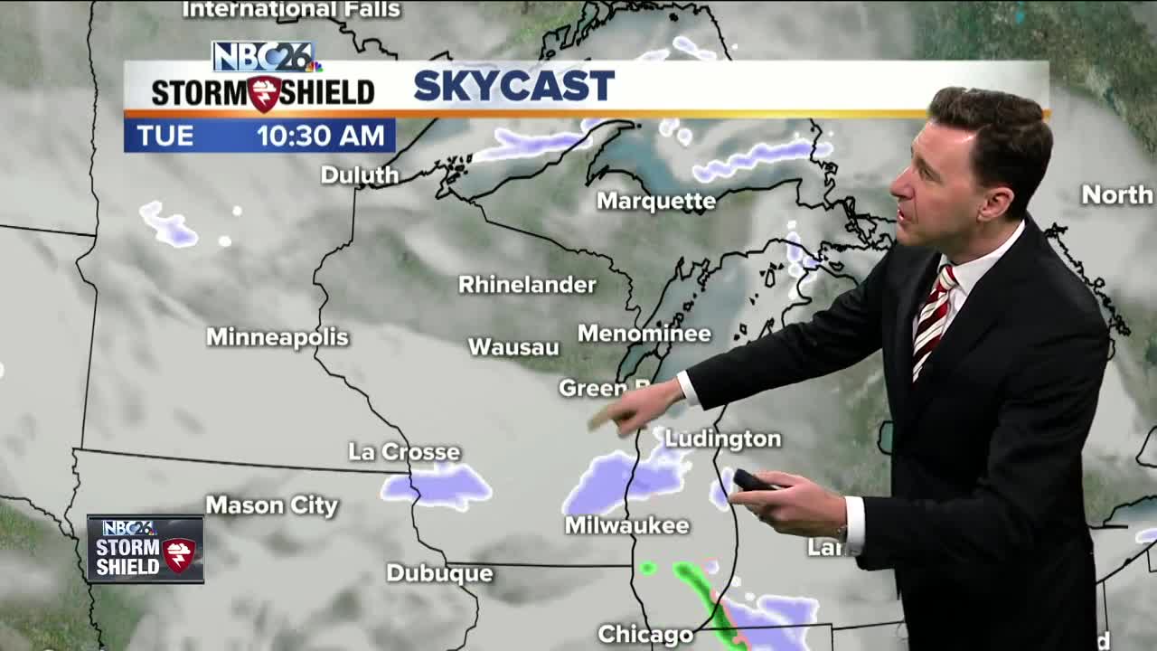
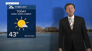
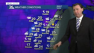
First of all, Merry Christmas for those celebrating today. There still is a chance of some festive flakes, especially the farther south you live. A weak wave of low pressure will track near the area. With this a few flurries or a little light snow is possible the farther south you live. If you would end up under any of this, you might see some very light accumulation by the evening, mainly south of Highway 10. Highs will top out in the low-30s. This chance of a few flurries or a little light snow into Christmas night ends with little to no accumulation. Lows will be in the low-20s. Wednesday will be a quiet day, at least during the day, with mostly cloudy skies and temperatures in the lower- to mid-30s. Skies will increase in cloud cover ahead of our next storm system Wednesday Night. At this time, it appears that precipitation will start off as snow north of the warm front late Wednesday night into Thursday morning. A dusting to a few inches may fall initially, especially up towards the Northwoods. Then as the front moves through, heading northwards towards the U.P., precipitation will turn over to mainly rain during the day Thursday. Then as the storm moves out of the area Friday, and rain will turn back to some lingering snow. Most of this should be out of here Saturday with temperatures topping out in the mid-20s. Temperatures seem to drop to near average levels as we go into the weekend and the following week.
-
 1:45
1:45
WGBA
1 year agoStudents excited to start at "huge and beautiful" Vel Phillips Middle School
368 -
 2:33
2:33
WGBA
4 years agoMichael Fish's NBC 26 weather forecast
4 -
 2:19
2:19
WGBA
4 years agoMichael Fish's NBC 26 weather forecast
3 -
 2:26
2:26
WGBA
4 years agoMichael Fish's NBC 26 weather forecast
4 -
 2:24
2:24
WGBA
4 years agoMichael Fish's NBC 26 weather forecast
3 -
 2:27
2:27
WGBA
4 years agoMichael Fish's NBC 26 weather forecast
4 -
 1:57
1:57
WGBA
4 years agoMichael Fish's NBC 26 weather forecast
2 -
 2:31
2:31
WGBA
4 years agoMichael Fish's NBC 26 weather forecast
7 -
 1:50
1:50
WGBA
4 years agoMichael Fish's NBC 26 weather forecast
4 -
 2:27
2:27
WGBA
4 years agoMichael Fish's NBC 26 weather forecast
1