THE TRUE MAP OF THE REALM
Lucius Aurelian
Maps show us what our world appears like at a larger scale and are used for navigation through any means of travel. The Mercator projection is considered the most accurate in terms of navigation however, it leads to vast distortion within the true size of the continents. This projection also displays other ways maps may be distorted in terms of true size and accuracy. The result of these projections is a series of questions about what the actual layout of the land, the realm, the world that we inhabit. -What would a true and accurate map of the lands look like? -How can maps be projected (distorted) to give priority to certain areas of geography? -Is it possible there may be more lands that are not displayed on current map projections? -How does navigation along rhumb lines deviate from latitude and longitude lines? -Could current maps still have errors and missing lands not displayed?
Timestamps:
00:00:00 The True Map of the Lands
00:26:36 Maps and Charts of the Old-World
00:59:35 A Projection that Shows Lands Beyond the Known World
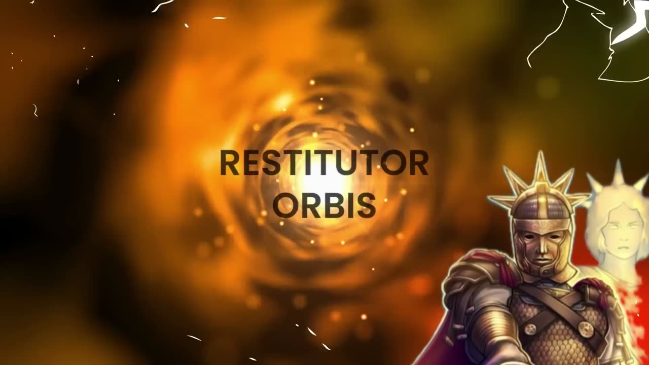
01:13:28 The Moon Map (The Lands reflected in the Moon)
01:29:12 The Projection that Shows Infinite Lands
-
 LIVE
LIVE
RealAmericasVoice
3 days agoHOME OF REAL NEWS
10,872 watching -
 LIVE
LIVE
Badlands Media
8 hours agoBadlands Daily: September 11, 2025
1,451 watching -
 LIVE
LIVE
Wendy Bell Radio
5 hours agoA Watershed Moment
9,349 watching -
 4:24
4:24
Bearing
5 hours agoCharlie Kirk ♥️
1.76K28 -
 LIVE
LIVE
The Mike Schwartz Show
55 minutes agoTHE MIKE SCHWARTZ SHOW with DR. MICHAEL J SCHWARTZ 09-11-2025
2,533 watching -
 LIVE
LIVE
Chicks On The Right
4 hours agoCharlie Kirk's assassination, the reaction, and where we all go from here.
2,956 watching -
 LIVE
LIVE
LFA TV
4 hours agoLFA TV ALL DAY STREAM - THURSDAY 9/11/25
6,292 watching -
 1:10:14
JULIE GREEN MINISTRIES
3 hours agoWHAT DO WE DO NOW?
101K235 -
 4:00:20
The Bubba Army
23 hours agoCharlie Kirk's Killer On The Run - Bubba the Love Sponge® Show | 9/11/25
126K52 -
 16:58
16:58
Actual Justice Warrior
2 days agoBLM's Original HOAXER Killed By Black Crime
90.8K64