Here are 5 Ancient Maps That Defy Explanation:
4 months ago
35
Here are 5 Ancient Maps That Defy Explanation:
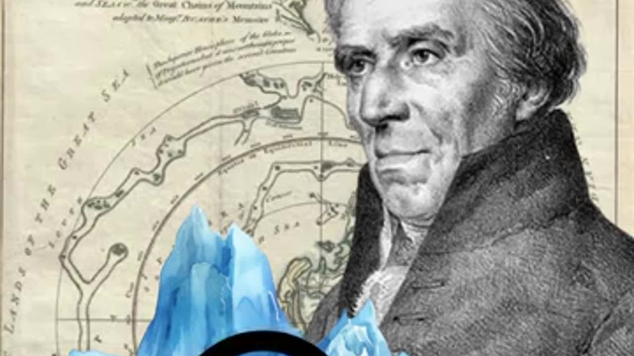
1.The Piri Reis Map (1513): Depicts Antarctica without ice - 300 years before its official discovery!
2. The Oronteus Finaeus Map (1531): Shows Antarctica's exact coastline and islands - centuries before satellite imaging.
3. The Mercator Map (1538): Includes a land bridge between Asia and North America - matching modern theories of ancient migration.
4.The Hadji Ahmed Map (1559): Illustrates a ice-free Greenland and Alaska - contradicting historical climate records.
5. The Buache Map (1737): Reveals Antarctica's subglacial lakes and rivers - confirmed by modern science ONLY in 2013!
Want me to uncover the mysteries behind any of these maps?
Loading comments...
-
 4:19
4:19
PistonPop-TV
6 days ago $0.90 earnedThe 4E-FTE: Toyota’s Smallest Turbo Monster
11.2K -
 43:07
43:07
WanderingWithWine
5 days ago $0.66 earned5 Dreamy Italian Houses You Can Own Now! Homes for Sale in Italy
9.84K2 -
 LIVE
LIVE
Spartan
20 hours agoFirst playthrough of First Berserker Khazan
295 watching -
 28:01
28:01
Living Your Wellness Life
2 days agoTrain Your Hormones
12.5K -
 43:28
43:28
The Heidi St. John Podcast
1 day agoFan Mail Friday: Faith Over Fear and Finding Strength in Every Season
6.79K -
 1:05:30
SGT Report
1 day agoTHE HORRIBLE TRUTH ABOUT EVERYTHING -- Harley Schlanger
48.7K89 -
 11:04
11:04
Blackstone Griddles
16 hours agoCountry Fried Steaks on the Blackstone Griddle
92.7K14 -
 49:47
49:47
Brad Owen Poker
1 day agoI Get My First BIIGGG Win! $25,000+ Buy-in! HORSE Championship! Don’t Miss! Poker Vlog Ep 324
17K1 -
 9:53
9:53
Rethinking the Dollar
1 day agoWhen Detroit Bleeds, America Suffer! Layoffs Have Begun
20.8K31 -
 18:36
18:36
Clownfish TV
1 day agoYouTube Just NERFED YouTube Gaming... | Clownfish TV
23.3K32