From Space to Soil: How NASA Sees Forests
4 months ago
16
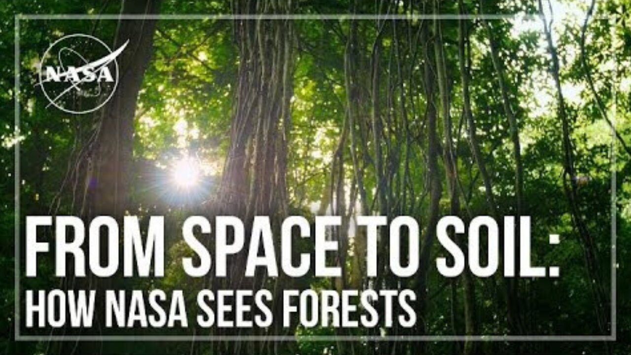
NASA uses satellite lidar technology to study Earth’s forests, key carbon sinks. The GEDI mission maps forest height and biomass from the International Space Station, while ICESat-2 fills polar data gaps. Together, they enable a first-of-its-kind global biomass map, guiding smarter forest conservation and carbon tracking.
Click This link for More information
Loading comments...
-
 9:23
9:23
NASA
15 days agoBlastoff! SpaceX launches Starlink batch 10-37 from Florida, nails landing
13 -
 LIVE
LIVE
BEK TV
2 days agoTrent Loos in the Morning - 11/17/2025
157 watching -
 9:25
9:25
MattMorseTV
15 hours ago $28.11 earnedTrump’s GAMBLE just PAID OFF… BIG TIME.
49.5K90 -
 18:03
18:03
Nikko Ortiz
20 hours agoNikko Ortiz Night Routine...
105K17 -
 LIVE
LIVE
FyrBorne
10 hours ago🔴Battlefield REDSEC Live M&K Gameplay: Pyro+ Games
202 watching -
 LIVE
LIVE
Lofi Girl
3 years agolofi hip hop radio 📚 - beats to relax/study to
413 watching -
 2:12:56
BBQPenguin_
2 hours agoEscape From Tarkov 1.0 Wipe! New Story & Full Release!
4.62K -
 LIVE
LIVE
Midnight In The Mountains™
1 hour agoMorning Coffee w/ Midnight & The Early Birds of Rumble
199 watching -
 24:21
24:21
a12cat34dog
1 day agoGUITAR HERO AT DREAMHACK | HALLOWEEN 2025
21.1K9 -
 LIVE
LIVE
B2ZGaming
9 hours agoB2Z.... Assemble! | B2Z Gaming
92 watching