How did they know about Antarctica?
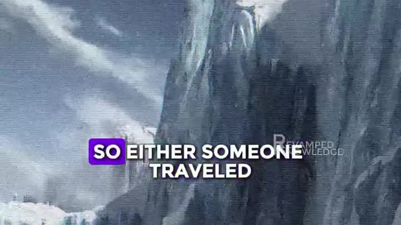
We didn't discover Antarctica until 1820. That's a fact. Go look it up. And yet, somehow, it's right there on maps from the 1500s, drawn with precision, with coastlines, with mountains, with detail we shouldn't have had. Now ask yourself, how did they map a place no one had ever stepped foot on? Let's talk about the Orontius-Phineas map, drawn in 1531. It shows Antarctica exactly where it should be, nestled under South America. Then there's the Wall C Miller map, same story. And the Pinkerton map doesn't even bother pretending. It just leaves a hole where Antarctica belongs. They called it the Southern Land, and oddly enough it was bigger than today's frozen chunk. Why? Because during the Ice Age, it was. Let that sink in, whoever made the original maps knew Ice Age geography. So either someone traveled there thousands of years ago, or we're dealing with something far older, a civilization, lost, forgotten, but smart enough to chart the ends of the Earth when we still thought the world was flat. These aren't just maps, they're fingerprints, clues left behind by hands that shouldn't exist in our history books. And yet they do. Go ahead, say it's a coincidence, but the evidence? It's staring right at us. This is just a theory, not a fact.
-
 14:47
14:47
GritsGG
13 hours agoRumble Tournament Dubular! Rebirth Island Custom Tournament!
1.4K2 -
 LIVE
LIVE
Lofi Girl
2 years agoSynthwave Radio 🌌 - beats to chill/game to
224 watching -
 54:47
54:47
Side Scrollers Podcast
1 day agoSide Scroller Presents KING OF THE KART | MASSIVE MARIO KART TOURNAMENT
103K6 -
 2:39:02
The Pascal Show
14 hours ago'HE'S THE DEVIL!' Former Mother In Law Breaks Silence On Jake Haro & Emmanuel Haro Case
1.03K1 -
 4:47:50
The Why Files
2 days agoCOMPILATION: UFOs and Aliens Vol.2 | They are NOT our friends
37.9K36 -
 5:30:10
SpartakusLIVE
9 hours ago#1 Verdansk Sniper gets HACCUSATIONS because of INSANE Headshots
45.6K4 -
 46:18
46:18
SB Mowing
2 days agoShe was LOSING HOPE but this SURPRISE CHANGED EVERYTHING
28.7K40 -
 LIVE
LIVE
ItsLancOfficial
8 hours agoWE LIVE 🔴WE LIVE 🔴 SUNDAY SUNDAYS!!!!!!! TARKOV
508 watching -
 4:09:32
EricJohnPizzaArtist
6 days agoAwesome Sauce PIZZA ART LIVE Ep. #59: Are You Ready for some FOOTBALL with GameOn!
25.9K7 -
 1:21:43
Jake Shields' Fight Back Podcast
14 hours agoJake Shields and Paul Miller!
61.1K109