Gino Recchia NBC26 Storm Shield Weather Forecast
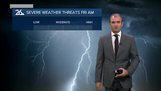
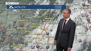
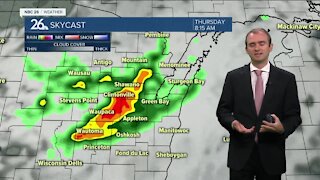
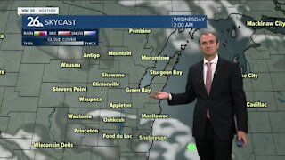
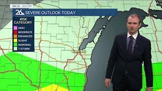
Today will be the coldest day of the whole week, with highs only topping off in the mid and upper teens. We will have winds out of the west around 5 to 15 mph under an abundance of sunshine. The sun won't do much justice however because wind chills will be between 5 to 10 degrees. We are in store for a decent period of quiet and sunny weather, something that Northeast Wisconsin hasn't seen a long stretch of more recently. Tonight, overnight lows will dip into the single digits and the lower teens with light winds out of the west around 5 to 10 mph. High temperatures this weekend will return to the 20s. Lower to mid 20s on Saturday and mid to upper 20s on Sunday. Mondays highs will approach near 30 degrees and Tuesday will get right around the freezing mark. Sunny days remain all the way until Tuesday. The next chance of precipitation here could come either on Wednesday or Thursday. There is some disagreement on the type of precipitation, as well as the exact timing of its arrival. Some data is showing a light snowfall accumulation of a few inches while others present a rain and snow mix. Details will be fine tuned as we get closer in time, but for the time being, enjoy all this Vitamin D.
-
 1:45
1:45
WGBA
7 months agoStudents excited to start at "huge and beautiful" Vel Phillips Middle School
56 -
 3:40
3:40
WGBA
2 years agoGino Recchia NBC26 Weather Forecast
5 -
 3:21
3:21
WGBA
2 years agoGino Recchia NBC26 Weather Forecast
3 -
 3:51
3:51
WGBA
2 years agoGino Recchia NBC26 Weather Forecast
1 -
 2:32
2:32
WGBA
2 years agoGino Recchia NBC26 Weather Forecast
6 -
 3:45
3:45
WGBA
2 years agoGino Recchia NBC26 Weather Forecast
14 -
 3:07
3:07
WGBA
2 years agoGino Recchia NBC26 Weather Forecast
9 -
 3:44
3:44
WGBA
2 years agoGino Recchia NBC26 Weather Forecast
8 -
 3:48
3:48
WGBA
2 years agoGino Recchia NBC26 Weather Forecast
-
 3:13
3:13
WGBA
2 years agoGino Recchia NBC26 Weather Forecast
12