NBC26 Storm Shield Weather Forecast
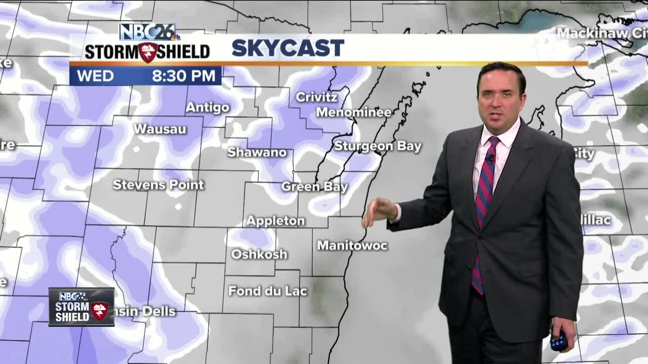
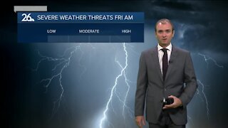
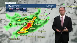
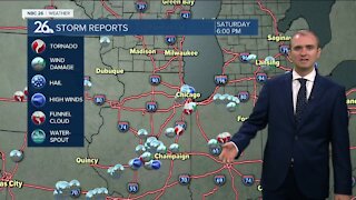
The forecast is remaining rather quiet & cold over the coming days here in Northeast Wisconsin. Tonight we cool down into the lower 20s with mostly cloudy skies and winds out of the west and southwest between t to 10 mph. A few flurries are possible. Wednesday will be an almost carbon copy, highs around 30° and winds out of the west and southwest around 5 to 10 mph. Wednesday night, an arctic front will move through the Midwest and bring a chance of some patchy light snow or snow showers. A dusting to 1/2" is possible. Behind the front, winds will begin to pick out of the northwest with gusts perhaps upward of 25 mph. The stronger northerly winds are being accompanied by an arctic high pressure which is going to drop our high temperatures down into the Teens Friday, the coldest high of the week. In fact....many could see the first sub-zero low temps of the winter Friday- Sunday. Temperatures slowly rebound going into the weekend, gradually warming into the low/mid 20s with mostly sunny skies both days.
-
 1:45
1:45
WGBA
1 year agoFond du Lac Cardinals start the football season with a new $5.3 million nest
295 -
 3:40
3:40
WGBA
3 years agoGino Recchia NBC26 Weather Forecast
5 -
 3:51
3:51
WGBA
3 years agoGino Recchia NBC26 Weather Forecast
1 -
 2:32
2:32
WGBA
3 years agoGino Recchia NBC26 Weather Forecast
6 -
 3:21
3:21
WGBA
3 years agoGino Recchia NBC26 Weather Forecast
3 -
 3:45
3:45
WGBA
3 years agoGino Recchia NBC26 Weather Forecast
14 -
 3:07
3:07
WGBA
3 years agoGino Recchia NBC26 Weather Forecast
9 -
 3:44
3:44
WGBA
3 years agoGino Recchia NBC26 Weather Forecast
8 -
 3:48
3:48
WGBA
3 years agoGino Recchia NBC26 Weather Forecast
-
 3:13
3:13
WGBA
3 years agoGino Recchia NBC26 Weather Forecast
63