Rising Waters: NASA’s Earth Minute on Sea Level Change
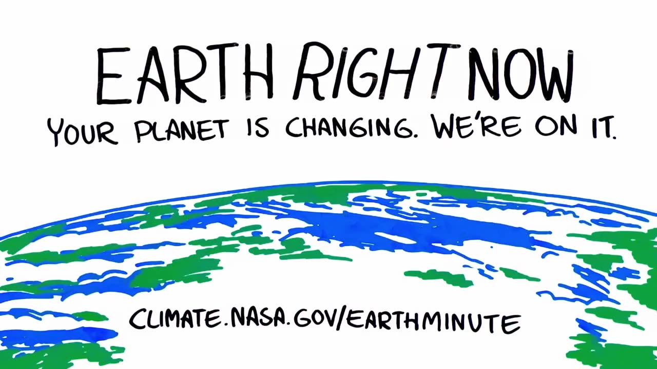
NASA’s "Earth Minute" on sea level rise offers a concise yet powerful look into one of the most pressing consequences of climate change. In just sixty seconds, it highlights how global warming is driving the melting of glaciers and ice sheets, leading to rising ocean levels around the world. This seemingly small increase in sea level—measured in millimeters per year—has vast and far-reaching implications for the planet, especially for coastal regions, ecosystems, and vulnerable populations. Through satellite observations and scientific modeling, NASA tracks changes in the Earth’s climate system with unmatched precision. Their data shows that sea levels have risen significantly over the past century, and the rate is accelerating. This rise is not uniform across the globe; some regions experience more dramatic changes due to local conditions like ocean currents and land subsidence. The Earth Minute video uses visuals from space to demonstrate how interconnected the planet’s systems are and how even remote changes in polar regions can affect coastal cities thousands of miles away. The video also emphasizes the importance of continued research and innovation in Earth science. Tools like the Sentinel-6 Michael Freilich satellite help scientists monitor the oceans in near-real-time, improving forecasts and guiding climate adaptation efforts. These insights not only inform policymakers but also raise public awareness about the urgency of addressing climate change. In just one minute, NASA manages to deliver a sobering message: sea level rise is real, it's happening now, and its impacts are already being felt. By turning complex science into accessible, visual storytelling, Earth Minute helps educate and inspire action for a more resilient future. #SeaLevelRise #NASAClimate #EarthScience
-
 1:30:58
Lara Logan
2 days agoENEMY AT THE GATES: Trevor Loudon Unmasks the Sinister Alliance Working to Destroy America | Ep 38
5.21K24 -
 LIVE
LIVE
TheItalianCEO
48 minutes agoBest VIDEO GAMES on a Sunday
20 watching -
 17:14
17:14
Mrgunsngear
18 hours ago $4.19 earnedDerya DY9 Review - The Best Budget Glock Clone?
4.44K12 -
 8:46
8:46
It’s the Final Round
1 day ago💰NFL Week 5 Best Bets🔥Player Prop Picks, Parlays, Predictions FREE Today October 5th
16 -
 LIVE
LIVE
Amish Zaku
1 hour agoMaking Music & Thumbnails - Hanging out with Chat
43 watching -
 LIVE
LIVE
Barneyjack
1 hour agoWarframe LR5/MR35 Gaming, Mayhem & Fashion!! Get in here :) :)
12 watching -
 30:00
30:00
BEK TV
4 days agoGUT HEALTH AND THE POWER OF KIMCHI WITH KIM BRIGHT ON TRENT ON THE LOOS
69.8K6 -
 12:00
12:00
Ken LaCorte: Elephants in Rooms
1 day ago $0.14 earnedWhy Don't Asians Commit Crimes?
68 -
 23:19
23:19
marcushouse
1 day ago $0.76 earnedStarship Flight 11 Is NOT What We Expected… 🚀
4963 -
 22:06
22:06
Jasmin Laine
1 day ago"It’s An EMBARRASSMENT!"–David Eby Gets WRECKED by Former Liberal MP
1.56K19
