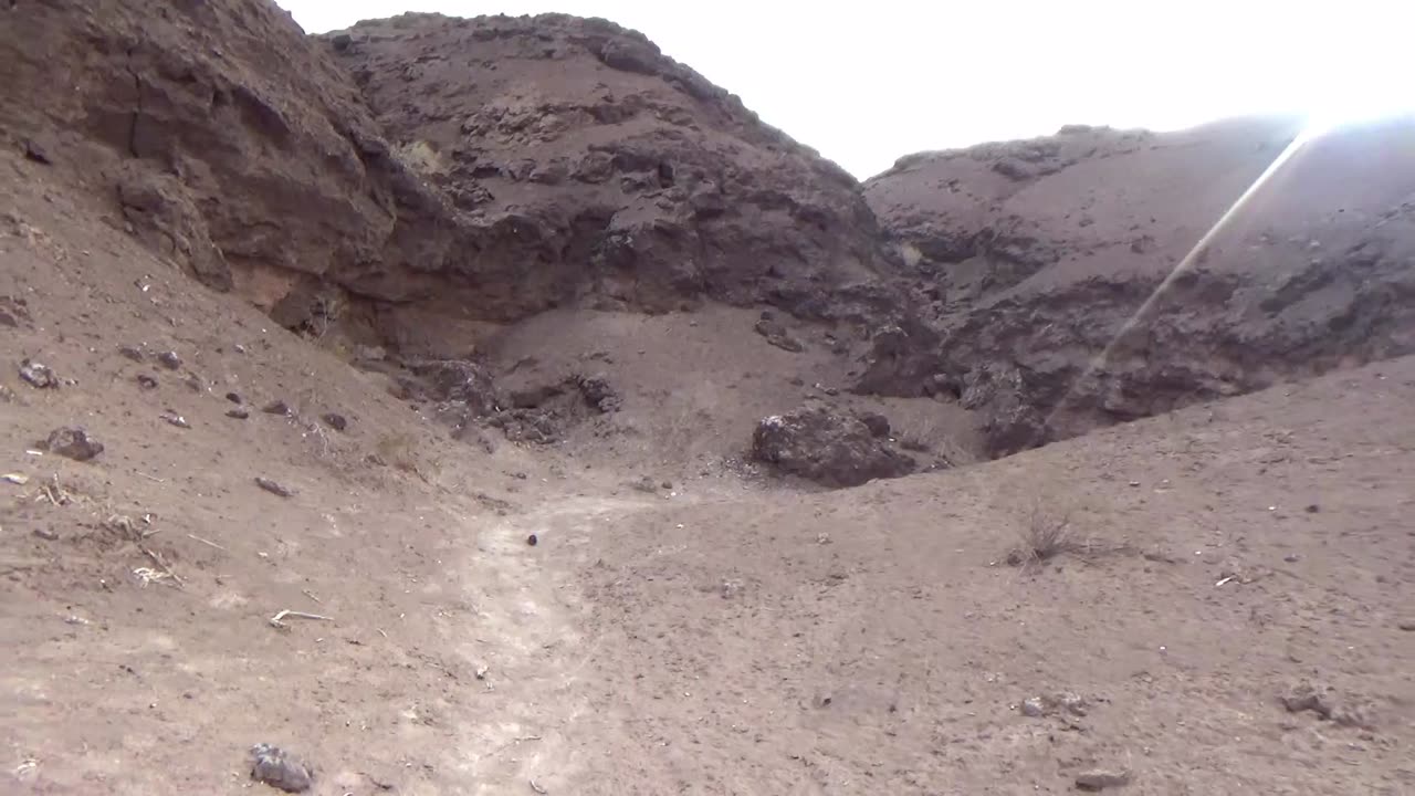
Muddy Creek Contacts with the Lavas
35.947022,-114.790558
We verify what the geologic maps says that the lavas are on top of the Muddy Creek lake bottoms just to keep them honest. Their theory relies on superposition.
We saw signs of this lake bottom on the video "Take the Scenic Route" above Hoover Dam on the other side of these lava flows.
Free Geologic Map of the area:
https://pubs.usgs.gov/of/2013/1267/a/
Tsmo--Mudstone, siltstone, east of Boulder City, where it contains conspicuous manganiferous gypsum in vicinity of Boulder Rifle and Pistol Club. Inferred to be about 12 to 16 Ma in age. unit lies between andesite lava and breccia of lower part of Patsy Mine Volcanics (Tpl) with an 40Ar/39Ar age of 15.72±0.03 Ma (Faulds and others, 1999) and a basalt flow of upper Mount Davis Volcanics (Tdmu) with an 40Ar/39Ar age of 12.73±0.3 Ma (
Tdmm--Black olivine basalt to basaltic andesite, Outcrops previously mapped as Fortification Basalts west of Colorado River (units Tmf, Tmfc, and Tmfq of Ekren and Anderson, 1996, and unit Tmf of Anderson, 1977, 1978) have been assigned to this unit based on stratigraphic relations and geochronology. A new 40Ar/39Ar age of 13.268±0.032 Ma (appendix 1) was obtained from basalt sample collected about 1.5 miles northeast of Boulder City from outcrops that had previously been mapped as Fortification basalt (Anderson and Ekren, 1996; Anderson, 1977).
Tdru--Rhyodacite, Lava of No Name Mesa (unit Tl of Ekren and Anderson, 1996), and unnamed flows and domes on east side of Black Canyon south of Palm Tree canyon (unit Tdr of Anderson, 1978). Sugarloaf dacite is 13.11±0.02 Ma (40Ar/39Ar; Faulds and others, 1999), and Lava of No Name Mesa is 13.10±0.10 Ma
Black Betty on Youtube:
https://www.youtube.com/watch?v=4cn_woPvjQI
-
 LIVE
LIVE
The Mel K Show
2 hours agoMel K w/ Ian Trottier & John Donovan | High Stakes Treason: How John Brennan Compromised American Security for Millions | 8-22-25
368 watching -
 LIVE
LIVE
SpartakusLIVE
2 hours agoWARZONE NUKE IS BACK?! || Solo Challenge CHAMPION to start, duos w/ the Dawg later
3,388 watching -
 LIVE
LIVE
LFA TV
16 hours agoLFA TV ALL DAY STREAM - FRIDAY 8/22/25
875 watching -
 42:57
42:57
MattMorseTV
1 hour ago🔴Canada just SURRENDERED.🔴
29.7K15 -

Stephen Gardner
1 hour ago🚨YES! Trump DID IT + Bombshell SCOTUS ruling!
5994 -
 LIVE
LIVE
Edge of Wonder
3 hours ago4 Alien Species Revealed by Congressman & AI Creates ‘New Physics’
362 watching -
 LIVE
LIVE
Mally_Mouse
21 hours agoFriend Friday!! 🎉 - Let's Play! - Goose Goose Duck
98 watching -
 LIVE
LIVE
Spartan
2 hours agoRanked + Octopath Traveler 2
54 watching -
 LIVE
LIVE
GrimmHollywood
8 hours ago🔴LIVE • GRIMM HOLLYWOOD • RUMBLE SPARTANS HALO NIGHT • GRIMMDY GAMES • NEW GRIMM FILM
79 watching -
 43:26
43:26
BonginoReport
9 hours agoThe Future Is Bright w/ GOP Youth Advisory Chair CJ Pearson - Hayley Caronia (Ep.118)
67.2K19