Gino Recchia NBC26 Storm Shield Weather Forecast
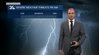
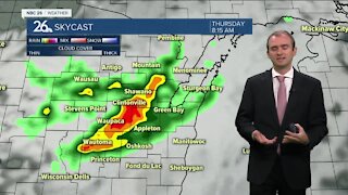
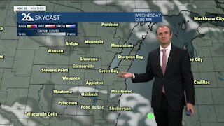
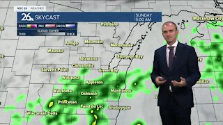
Holiday shoppers have been busy since last night and Mother Nature was being cooperative with dry weather and even some mild temperatures as well. High temperatures got into the mid-40s to near 50 which felt almost like a heatwave based on how cold and winter-like it has been the last few weeks. It was the warmest since the Beginning over November. Many of you who are fans out there of this mild weather will be sad to hear that it is going away tomorrow. A warm front, part of a storm system helped us with bringing these milder temperatures but now we are monitoring the arrival of a cold front to the region. Rain showers will move in from the west after 8-9pm tonight. By later tonight showers will be over all of the area with periodic rainfall through the mid-morning hours. Temperatures will fall into the lower 40s by daybreak. Any rainfall should exit the area by lunch time. A cold front will move in in the afternoon changing winds from the south to the west, dropping our temperatures back into the upper 20s and lower 30s Sunday. Also, on this day, a snow storm will be affecting parts of the Central Plains and the Midwest. The storm system in question is now making landfall over the Pacific Northwest bring valley rains and mountain snows. Being only about 60 hours out before first flakes fall, there still remains some disagreement. There are two scenarios on the drawing boards. The first scenario shows this storm system laying potentially significant snowfall from Iowa into Northern Illinois and extreme Southeast Wisconsin. A dusting to an inch or 2 at most would fall in Sheboygan County while the rest remain unscathed. The second scenario is one that would bring snow lovers in Northeast Wisconsin much happiness. This storm track shows the storm intensifying and causing it to curve more to the north and northeast. This would result in potentially significant snowfall from Southwest Wisconsin to Northeast Wisconsin with some locations getting more than six inches. What is interesting to note is that last night practically all of the different data we cycle through shifted this storm down into the first scenario. Now this afternoon, some have shifted this storm track to favor more of Wisconsin. It will be interesting to see what happens in the next 24 hours. Nothing is carved into stone just yet but the potential for the first snow storm in our area still remains a threat
-
 1:57
1:57
WGBA
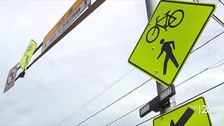
7 months agoHow the City of Green Bay is hoping a $1.6M investment will make the community safer for pedestrians
921 -
 3:40
3:40
WGBA
2 years agoGino Recchia NBC26 Weather Forecast
5 -
 3:51
3:51
WGBA
2 years agoGino Recchia NBC26 Weather Forecast
1 -
 2:32
2:32
WGBA
2 years agoGino Recchia NBC26 Weather Forecast
6 -
 3:07
3:07
WGBA
2 years agoGino Recchia NBC26 Weather Forecast
9 -
 3:44
3:44
WGBA
2 years agoGino Recchia NBC26 Weather Forecast
8 -
 3:48
3:48
WGBA
2 years agoGino Recchia NBC26 Weather Forecast
-
 3:13
3:13
WGBA
2 years agoGino Recchia NBC26 Weather Forecast
12 -
 3:50
3:50
WGBA
2 years agoGino Recchia NBC26 Weather Forecast
12 -
 3:38
3:38
WGBA
2 years agoGino Recchia NBC26 Weather Forecast
5