Premium Only Content

Near the Punchbowl!
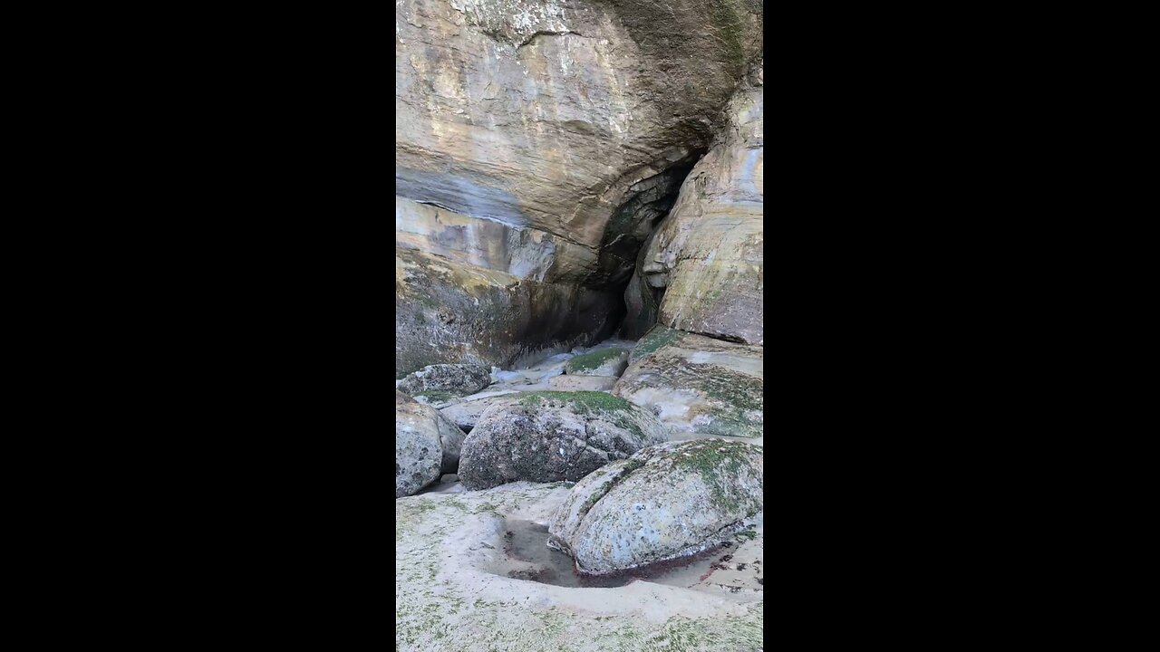
Devil's Punchbowl State Natural Area is a stunning spot on the central Oregon Coast, located in Otter Rock, about 5 miles south of Depoe Bay and 8 miles north of Newport. It’s a day-use state park centered around a massive, bowl-shaped rock formation carved into a headland, partially open to the Pacific Ocean. This "punchbowl" was likely formed when the roofs of two sea caves collapsed, and over time, relentless waves sculpted it into the dramatic feature you see today. During high tide, especially in stormy weather, waves crash in with a thundering roar, churning and foaming inside the bowl—pretty wild to watch from above. At low tide, you can actually hike down to explore the interior, though you’ve got to time it right and stay cautious, as the ocean can be unpredictable.
The park itself offers more than just the punchbowl. There’s a scenic overlook right near the parking lot where you can take in the view, plus picnic tables with ocean vistas—perfect for a coastal lunch. Trails lead down to the beach, where you can check out tidepools teeming with starfish, anemones, and crabs, especially on the north side. Surfers love the waves near Gull Rock, a big offshore pinnacle about half a mile out, and the area’s part of the Oregon Islands National Wildlife Refuge, so you might spot seabirds, seals, or even whales if you’re there during migration season (spring or late winter).
Heads up, though: the stairs to the beach are set to be closed for repairs from April 15th to May 15th, 2025—so right now, on April 4th, 2025, they’re still open, but plan accordingly if you’re visiting later this month. If the stairs are out, the next beach access is south at Beverly Beach State Park. Parking can get tight, especially in summer, but it’s free, and the vibe’s laid-back with a coffee shop and small shops nearby in Otter Rock. It’s a classic Oregon Coast stop—raw, rugged, and worth the detour off Highway 101.
-
 12:12
12:12
The Shannon Joy Show
13 hours ago🔥Carcinogens & Fetal Cells In Your New ‘Universal Vaccine’🔥
3.28K2 -
 10:38
10:38
ariellescarcella
11 hours agoOnlyFans Models Fake Being Trans : Queer Activists Are PISSED
2.85K1 -
 8:00
8:00
Congressman Eli Crane
15 hours agoThe D.C. Crime Problem | Democrats' Greatest Lies – Vol.2
37.6K9 -
 2:05:26
Side Scrollers Podcast
20 hours ago4Chan SUES UK Government + Craig Has Mental Illness Fatigue + Knight Rider REBOOT | Side Scrollers
38.4K8 -
 19:26
19:26
GritsGG
1 day agoChat Picked My Hair Color! All Pink Loadout & Operator Challenge!
32.4K4 -
 10:32
10:32
Nikko Ortiz
1 day agoFunniest Fails Of The Month
62K8 -
 1:27:34
TruthStream with Joe and Scott
4 days agoArchitect Richard Gage: 911 truths and more #482
36.8K8 -
 LIVE
LIVE
Lofi Girl
2 years agoSynthwave Radio 🌌 - beats to chill/game to
210 watching -
 56:48
56:48
The HotSeat
15 hours agoI'm NOT Sorry! Guns Aren’t the Problem—Godless Culture Is
40.7K30 -
 9:43
9:43
The Pascal Show
17 hours ago $1.32 earnedWHOA! Annunciation School Sh**ter Identified... Heartbreaking & Insane
12.5K2