Premium Only Content

Michael Fish's NBC26 Storm Shield weather forecast
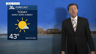
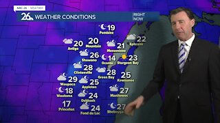
Today is going to FINALLY be nice and mild. As a matter of fact, it will likely be the warmest day we have seen November 6th. It will be breezy today with highs in the mid-40s. Those with breaks of sun will see clouds slowly increase as the day wears on. Rain will slowly develop late tonight, so most of your evening looks okay. It will be mild and breezy again with lows near 40. As you wake up Saturday morning, it will likely be a gloomy and damp start. The storm system that brought the mild air today will now bring colder air to the area Saturday afternoon once the cold front moves through. Highs Saturday will be in the low-40s, and may fall a bit in the late afternoon. Anyone near North-Central and Northwest Wisconsin, you may see a little light snow to end this event. Saturday night looks quiet with lows in the upper-20s. Our attention then quickly shifts over the Central Plains. A Colorado low (a storm system that develops over southern Colorado or Northern New Mexico) as we call it in the weather community could bring someone in Illinois or Wisconsin some significant winter weather. Since last Sunday we have been seeing day after day of the potential for the first significant snow storm somewhere in the Midwest. The risk is still there, but right now the location of the heaviest snowfall is uncertain with a roughly 250 mile spread anywhere from Northern Illinois to Northeast Wisconsin. Models have been trending this system south as of the latest runs, but that low pressure is just about to reach the West Coast. The forecast could change significantly as the new data continues to roll in. If we would see anything, it would start Sunday afternoon into Sunday night, then taper off Monday morning. More updates will follow as we get closer to this storm system.
-
 1:45
1:45
WGBA
1 year agoStudents excited to start at "huge and beautiful" Vel Phillips Middle School
387 -
 2:33
2:33
WGBA
4 years agoMichael Fish's NBC 26 weather forecast
4 -
 2:19
2:19
WGBA
4 years agoMichael Fish's NBC 26 weather forecast
3 -
 2:26
2:26
WGBA
4 years agoMichael Fish's NBC 26 weather forecast
4 -
 2:24
2:24
WGBA
4 years agoMichael Fish's NBC 26 weather forecast
3 -
 2:27
2:27
WGBA
4 years agoMichael Fish's NBC 26 weather forecast
4 -
 1:57
1:57
WGBA
4 years agoMichael Fish's NBC 26 weather forecast
2 -
 2:31
2:31
WGBA
4 years agoMichael Fish's NBC 26 weather forecast
7 -
 1:50
1:50
WGBA
4 years agoMichael Fish's NBC 26 weather forecast
4 -
 2:27
2:27
WGBA
4 years agoMichael Fish's NBC 26 weather forecast
1