🌍 Geo Systematics in Civil Engineering: The Future of Smart & Sustainable Infrastructure! 🚀🏗️
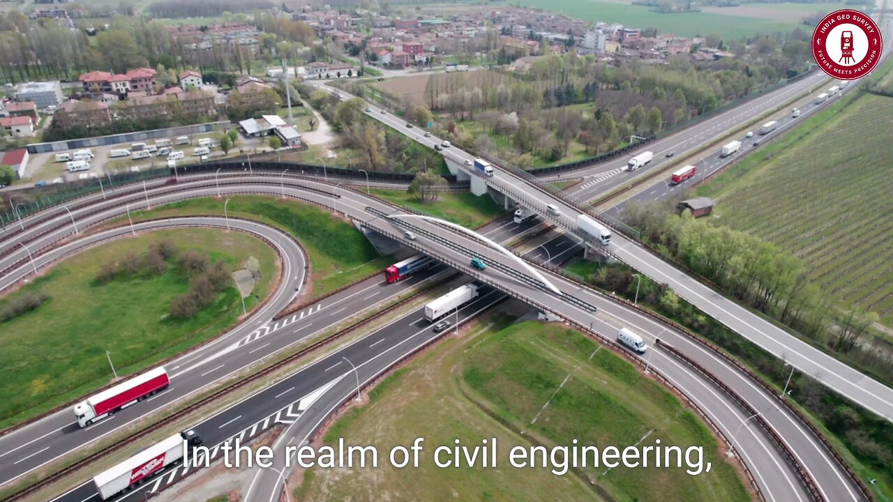
In the ever-evolving world of civil engineering, geo systematics emerges as a game-changer, blending geospatial intelligence with engineering precision. Imagine a construction site where every rock, soil layer, and underground feature is not an obstacle but an opportunity—that’s the power of geo systematics!
By integrating cutting-edge Geographic Information Systems (GIS), remote sensing, and geospatial analytics, engineers can map, analyze, and predict terrain behavior with unprecedented accuracy. This technology eliminates guesswork, ensuring safer foundations, optimized designs, and cost-effective solutions that withstand the test of time.
📌 Why Geo Systematics Matters in Civil Engineering?
✅ Precision Mapping & Risk Mitigation 🛰️
Advanced GIS & remote sensing tools provide a 360° view of surface and subsurface conditions, helping engineers identify geological risks such as landslides, soil instability, and flood zones before construction even begins!
✅ Smarter Urban & Infrastructure Planning 🏙️
Geo systematics enables data-driven urban planning, helping authorities design smart cities with optimized roads, bridges, and utilities, ensuring efficient land use and sustainability.
✅ Seamless Collaboration Among Experts 🤝
Imagine geologists, engineers, and environmental scientists working together with shared geospatial data—geo systematics fosters multidisciplinary teamwork, enhancing decision-making and project efficiency.
✅ Eco-Friendly & Sustainable Development 🌱
As the world moves toward green engineering, geo systematics plays a vital role in environmental conservation. By analyzing ecosystems, water bodies, and biodiversity, engineers can design projects that minimize environmental impact while enhancing sustainability.
🚀 The Future of Civil Engineering with Geo Systematics!
With AI-powered mapping, LiDAR technology, and drone-based surveys, geo systematics is revolutionizing infrastructure development. From highways to high-rises, embracing geospatial intelligence ensures smarter, safer, and more resilient engineering solutions!
💡 The next era of civil engineering is here—where science meets strategy, and data meets design! 🔥
#GeoSystematics #CivilEngineering #GIS #SmartCities #RemoteSensing #GeospatialTechnology #SustainableDevelopment #FutureOfEngineering #InnovationInConstruction #EngineeringExcellence 🚀
-
 LIVE
LIVE
LFA TV
15 hours agoLFA TV ALL DAY STREAM ! | MONDAY 9/22/25
4,743 watching -
 LIVE
LIVE
Caleb Hammer
17 hours ago$426,000+ A Year On Pokémon | Financial Audit
98 watching -
 LIVE
LIVE
The Big Mig™
1 hour agoTruth Bombs w/ Tom Renz
5,493 watching -
 32:56
32:56
Rethinking the Dollar
1 hour agoGold Is Telling the Truth While the Dollar Dies | Morning Check-In: Let's Talk...
9.34K -
 1:34:38
Dear America
2 hours agoThis is REVIVAL!! 100k+ Show Up For Charlies Vigil!! Whole Place Broke into Worship!!
91.3K68 -
 2:05:54
Matt Kohrs
10 hours agoStock Market Open: The Week Ahead || Live Trading Futures & Options
12K2 -
 LIVE
LIVE
Badlands Media
10 hours agoBadlands Daily: September 22, 2025
4,668 watching -
 1:28:06
NAG Podcast
17 hours agoSay Something Beyond W/MikeMac: CHANEY - Ep.6
6.46K2 -
 50:34
50:34
SGT Report
13 hours agoSILVER SHORTS ON SUICIDE WATCH -- Stuart Englert
18.6K10 -
 1:31:45
Chicks On The Right
5 hours agoCharlie's Memorial: highlights, the lead-up, the crowds, and the speech that broke the internet.
34.7K18