🌍 Geo Systematics in Civil Engineering: The Future of Smart & Sustainable Infrastructure! 🚀🏗️
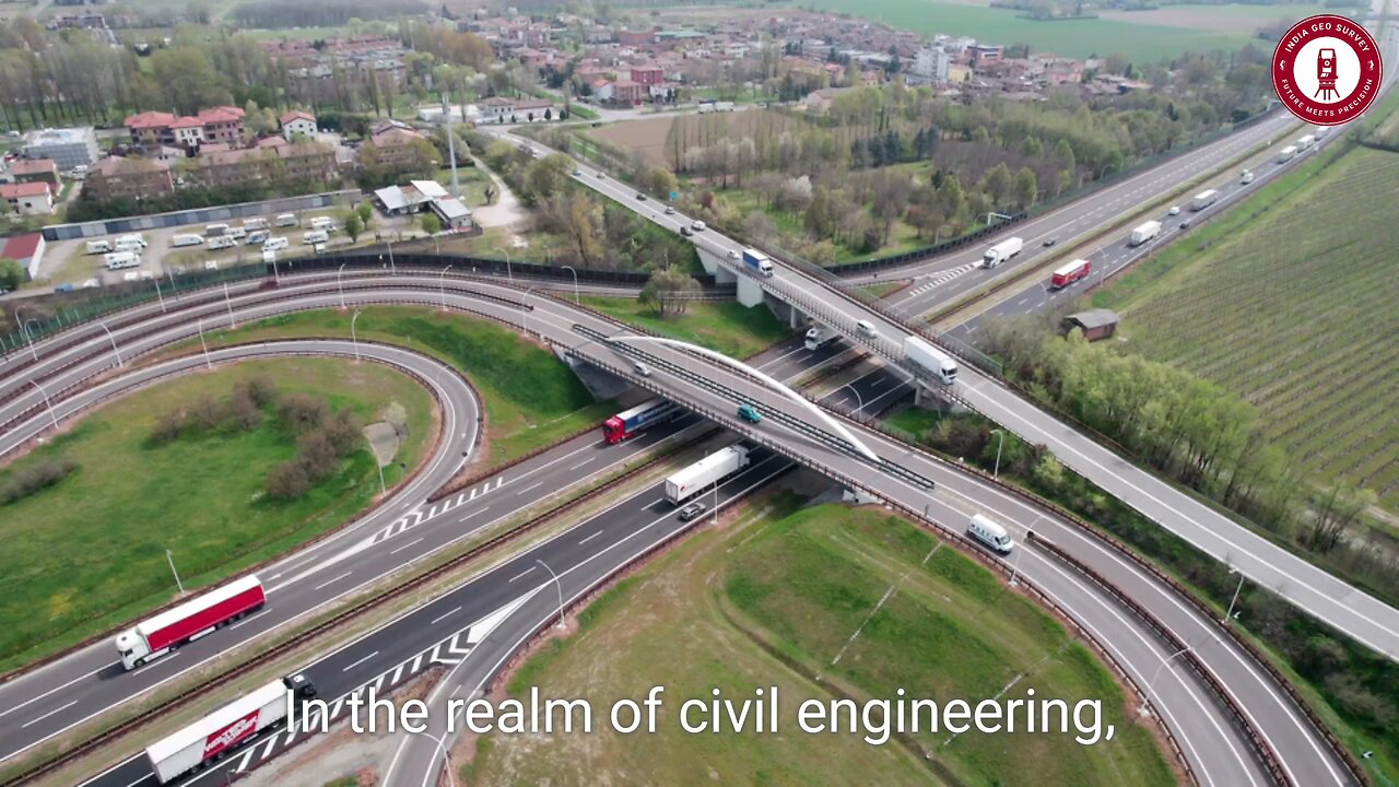
In the ever-evolving world of civil engineering, geo systematics emerges as a game-changer, blending geospatial intelligence with engineering precision. Imagine a construction site where every rock, soil layer, and underground feature is not an obstacle but an opportunity—that’s the power of geo systematics!
By integrating cutting-edge Geographic Information Systems (GIS), remote sensing, and geospatial analytics, engineers can map, analyze, and predict terrain behavior with unprecedented accuracy. This technology eliminates guesswork, ensuring safer foundations, optimized designs, and cost-effective solutions that withstand the test of time.
📌 Why Geo Systematics Matters in Civil Engineering?
✅ Precision Mapping & Risk Mitigation 🛰️
Advanced GIS & remote sensing tools provide a 360° view of surface and subsurface conditions, helping engineers identify geological risks such as landslides, soil instability, and flood zones before construction even begins!
✅ Smarter Urban & Infrastructure Planning 🏙️
Geo systematics enables data-driven urban planning, helping authorities design smart cities with optimized roads, bridges, and utilities, ensuring efficient land use and sustainability.
✅ Seamless Collaboration Among Experts 🤝
Imagine geologists, engineers, and environmental scientists working together with shared geospatial data—geo systematics fosters multidisciplinary teamwork, enhancing decision-making and project efficiency.
✅ Eco-Friendly & Sustainable Development 🌱
As the world moves toward green engineering, geo systematics plays a vital role in environmental conservation. By analyzing ecosystems, water bodies, and biodiversity, engineers can design projects that minimize environmental impact while enhancing sustainability.
🚀 The Future of Civil Engineering with Geo Systematics!
With AI-powered mapping, LiDAR technology, and drone-based surveys, geo systematics is revolutionizing infrastructure development. From highways to high-rises, embracing geospatial intelligence ensures smarter, safer, and more resilient engineering solutions!
💡 The next era of civil engineering is here—where science meets strategy, and data meets design! 🔥
#GeoSystematics #CivilEngineering #GIS #SmartCities #RemoteSensing #GeospatialTechnology #SustainableDevelopment #FutureOfEngineering #InnovationInConstruction #EngineeringExcellence 🚀
-
 LIVE
LIVE
tminnzy
1 hour agoBLACK OPS 7 MULTIPLAYER ROAD TO MASTER PRESTIGE
157 watching -
 47:10
47:10
The Rubin Report
6 hours agoWhat Really Happened on ‘The View’ & ‘Curb Your Enthusiasm’ | Cheryl Hines
177K42 -
 3:08:37
LumpyPotatoX2
5 hours agoWhere Winds Meet: New Level Cap + Rumble Wallet - #RumbleGaming
30.8K1 -
 LIVE
LIVE
SOLTEKGG
3 hours ago🔴LIVE - Battlefield 6 - Going Pro in RED SEC
194 watching -
 11:37
11:37
tactical_rifleman
2 days agoRare Breed BEATS THE ATF | FRT-15 | Tactical RIfleman
72.3K24 -
 2:51:46
Pepkilla
4 hours agoMore GOLD Camo's PLEASE Grind Call Of Black Ops 7
18K2 -
 1:35:54
LexTronic
3 hours ago $0.91 earnedMetroid Prime Remastered
12K4 -
 12:32
12:32
MetatronGaming
19 hours agoBLIGHT looks AMAZING - Trailer Reaction
35.5K13 -
 LIVE
LIVE
ProRedmanX
3 hours ago $1.09 earnedSunday Morning Coffee & Chaos ☕ | PUBG -> BF6 -> ??? #goonsquad
73 watching -
 5:23
5:23
Memology 101
22 days ago $19.57 earnedReporter HUMILIATES Kamala Harris over "WORLD-CLASS" dodge during interview
33.4K55