E-Scouting for Spring Bear using OnXmaps | Narrowing Down an Area & Developing a Backcountry Plan.
7 months ago
48
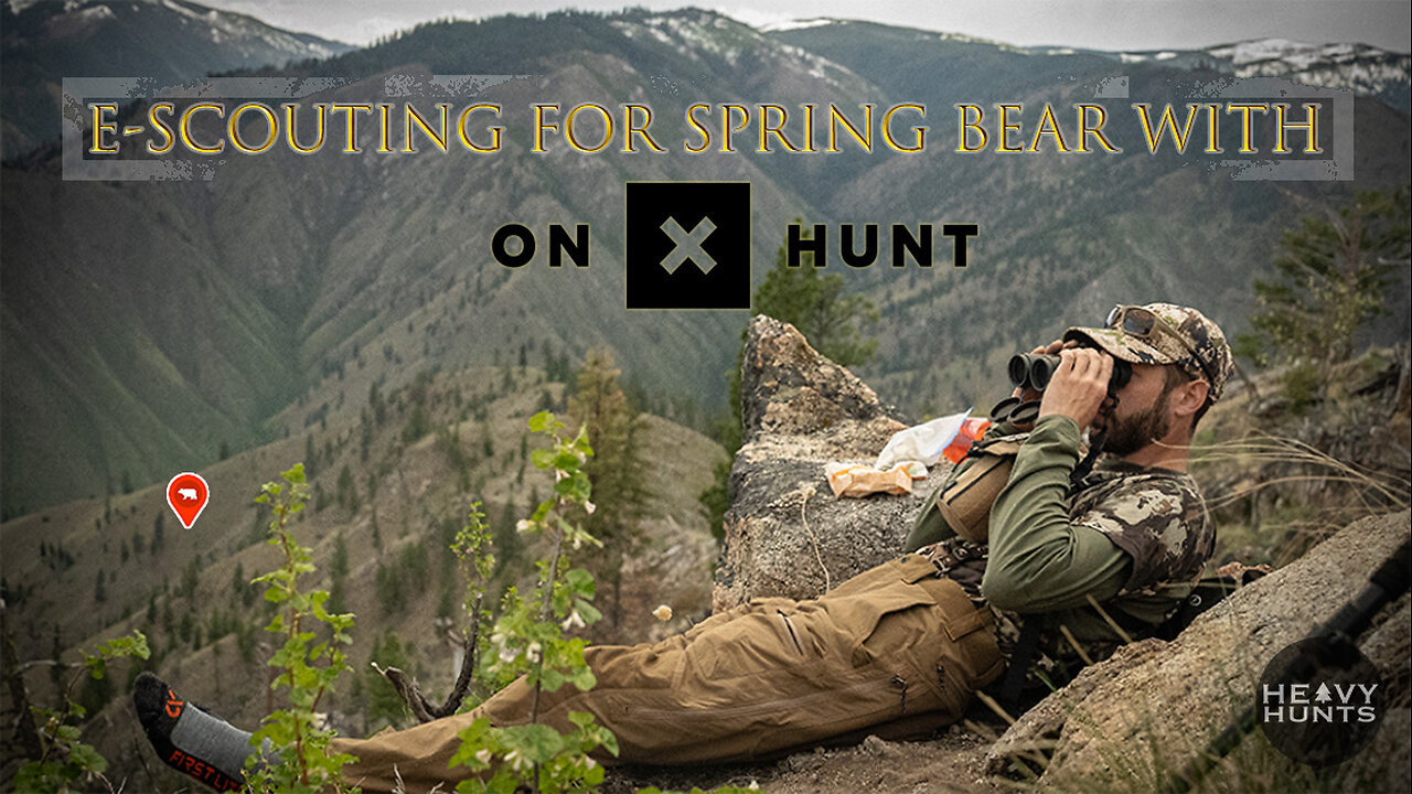
Ever wonder how we plan for a spring bear hunt. This video walks through Adam's process for narrowing down an area using the hunt map overlays (public land, historic burns, motorized trails, trails, timber cuts, roadless areas, wilderness areas, etc.). Adam also goes into details about using the waypoint radius tool for different scenarios, picking glassing locations & tent locations and using the draw line to map out a hunt plan.
Start planning your hunts now at: https://www.onxmaps.com/hunt/app/east
Subscribe to HEAVY HUNTS on Youtube:
https://www.youtube.com/@heavyhunts
Follow us on Social Media:
https://www.instagram.com/heavyhunts?utm_source=ig_web_button_share_sheet&igsh=ZDNlZDc0MzIxNw==
https://www.facebook.com/heavyhunts
Loading 1 comment...
-
 LIVE
LIVE
Nikko Ortiz
5 minutes agoWe Chillen... | Rumble LIVE
68 watching -
 1:15:32
Tucker Carlson
51 minutes agoICE Protests and Antifa Riots: Tucker Carlson Warns of Total Destruction if America Doesn’t Act Fast
6 -

Dr Disrespect
10 hours ago🔴LIVE - DR DISRESPECT - BLACK OPS 7 - BANG BANG BANG
107K5 -
 6:54
6:54
China Uncensored
9 hours agoA SHOCKING Discovery Proves We're Already At War With China
1.13K13 -
 LIVE
LIVE
Spartan
3 hours agoOMiT Spartan | Ghost of Yotei, Halo later maybe (Scrims chalked, teammates are sick)
44 watching -
 LIVE
LIVE
Badlands Media
18 hours agoAltered State S3 Ep. 49
1,646 watching -
 LIVE
LIVE
StevieTLIVE
2 hours agoStevie T RETURNS Warzone Quads w/ The Boys
44 watching -
 16:45
16:45
Ohio State Football and Recruiting at Buckeye Huddle
8 hours agoOhio State Football: Can Illinois Pull Off Another Shocking Upset of the Top-Ranked Buckeyes
43 -
 46:38
46:38
BonginoReport
8 hours agoYoung MAGA Won The Culture War (Ep. 151) - Nightly Scroll with Hayley 10/08/2025
140K35 -
 LIVE
LIVE
Putther
1 hour ago🔴GRINDING $$$ ON GTA ONLINE! (GTA 5 RP after)
41 watching
