Gino Recchia NBC26 Storm Shield Weather Forecast
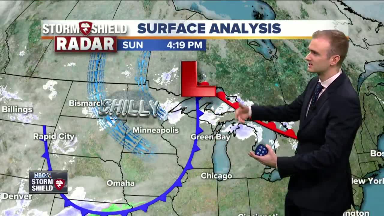
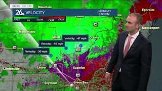
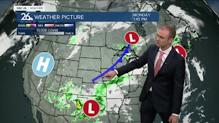
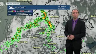
A clipper system last night brought in some light snowfall which accumulated upwards of 2 inches north of Green Bay. Officially, we accumulated 1 inch with only a dusting to just flurries further south. This clipper is still passing through our area this evening with a cold front expected to move through. A few flurries or stray snow showers will pop up behind this front. At most a dusting of snow may accumulated in localized areas. Cloudy skies will begin to gradually clear as the night wears on. Temperatures will bottom out in the lower 20s with light winds out of the west between 5 to 10 mph. The start of the work week will be cold, but dry with quite the benign pattern setting up for hte next few days. High temperatures will be lucky to reach 30 degrees tomorrow but we will at least have a fair amount of sunshine. Tuesday is going to be even colder with high temperatures only in the mid 20s but it will be another day is mostly sunny skies. We are back near freezing on Wednesday with more sunshine. Thursday, the warmest day of the week, a warm front will bring some milder air to the area. High temperatures will run anywhere from the lower to mid 40s. But it will be one and done because a cold front that night will cool us off and also bring in a few light snow showers.
-
 3:36
3:36
WGBA
1 year agoWill it be necessary to have both the AC & the heat on during the same day??
3831 -
 3:50
3:50
WGBA
4 years agoGino Recchia NBC26 Weather Forecast
4 -
 4:29
4:29
WGBA
4 years agoGino Recchia NBC26 Weather Forecast
3 -
 3:36
3:36
WGBA
4 years agoGino Recchia NBC26 Weather Forecast
7 -
 3:18
3:18
WGBA
4 years agoGino Recchia NBC26 Weather Forecast
8 -
 3:56
3:56
WGBA
4 years agoGino Recchia NBC26 Weather Forecast
3 -
 4:22
4:22
WGBA
4 years agoGino Recchia NBC26 Weather Forecast
3 -
 3:46
3:46
WGBA
4 years agoGino Recchia NBC26 Weather Forecast
8 -
 3:33
3:33
WGBA
4 years agoGino Recchia NBC26 Weather Forecast
3 -
 3:31
3:31
WGBA
4 years agoGino Recchia NBC26 Weather Forecast
2