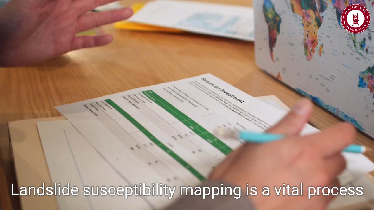
🌍 Landslide Susceptibility Mapping in ArcGIS – Predict & Prevent Disasters! 🏔️⚠️
🚨 Can we predict landslides before they happen? With Landslide Susceptibility Mapping in ArcGIS, we can analyze, visualize, and mitigate risks before disaster strikes! 🌍
📌 What You'll Learn:
✅ How to collect & integrate critical landslide data (topography, slope, soil type, hydrology)
📍 Creating a high-precision Digital Elevation Model (DEM) for terrain analysis
🛠 Applying machine learning & statistical techniques for risk prediction
🌐 Using ArcGIS to create visually compelling susceptibility maps
📊 Real-world applications for disaster management & urban planning
💡 Why It Matters:
🌪 Landslides cost lives & billions in damages each year! With accurate GIS-based mapping, we can identify high-risk zones, inform urban planners, and protect communities from future disasters!
🔥 Pro Tip: Regularly update DEM & environmental data to maintain accuracy in changing landscapes!
💬 Have you used GIS for disaster management? Share your insights in the comments!
🔔 LIKE, SHARE & SUBSCRIBE for more cutting-edge GIS insights!
💥 Hashtags:
#GIS #LandslideMapping #ArcGIS #DisasterManagement #GeospatialAnalysis #RiskAssessment #Surveying #UrbanPlanning #SpatialAnalysis #RemoteSensing #MappingTech #NaturalDisaster #GeoScience #EarthObservation
-
 LIVE
LIVE
AP4Liberty
54 minutes agoTrump Sends US Marines To LA Over Immigration Riots
934 watching -
 21:25
21:25
James Klüg
14 hours agoDo Democrats Want To ABOLISH ICE?
2203 -
 LIVE
LIVE
Bitcoin on Rumble
55 minutes agoBitcoin Wakes US up from LA LA Land
205 watching -
 LIVE
LIVE
TwinGatz
1 hour ago🔴LIVE - Rainbow Six: Siege X Launch | Pack Watch | Rumble Takeover
32 watching -
 1:25:22
Kim Iversen
16 hours agoThe Real Target Of The LA Protests: YOUR FREEDOMS
71.9K192 -
 9:00
9:00
Adam Does Movies
14 hours ago $0.18 earnedBallerina Is Flopping Pretty Hard In Theaters
16.1K4 -
 LIVE
LIVE
BEK TV
15 hours agoTrent Loos in the Morning 6/10/2025
234 watching -
 LIVE
LIVE
Lofi Girl
2 years agoSynthwave Radio 🌌 - beats to chill/game to
1,088 watching -
 2:01:31
Side Scrollers Podcast
21 hours ago“Make FPS Great Again” MELTDOWN, Relooted ROASTED by EVERYONE + More | Side Scrollers Live
31.4K4 -
 4:16:46
The Sufari Hub
5 hours ago🔴MEETING THE BLACK CAT | MARVELS : SPIDER-MAN REMASTERED DLC | The City That NEVER Sleeps
24.8K