Gino Recchia NBC26 Storm Shield Weather Forecast
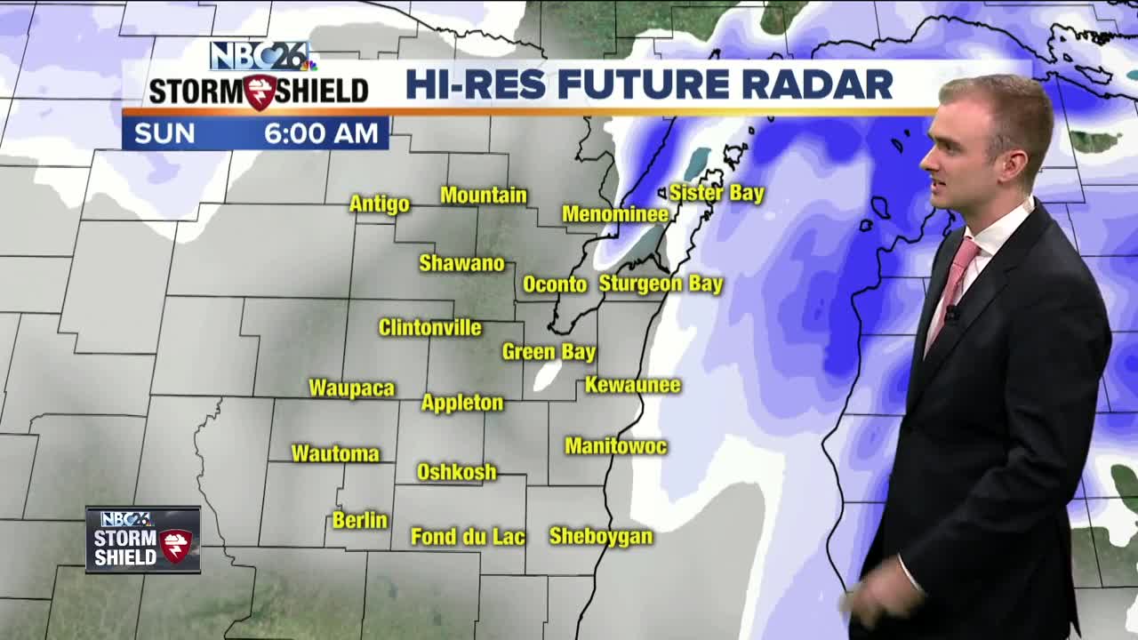
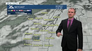
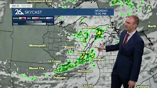
Cold air was left behind our first widespread snowfall event of the season in Northeast Wisconsin. Another round of snow is moving in for this evening and will bring with it, another light dusting. A weak clipper will move in around 9 PM tonight over our western Counties impacting locations like Antigo and Waupaca. By 10:30, The snowfall should reach the Fox Cities and the Green Bay area. Lakeshore areas will see snowfall by midnight. This clipper is very much moisture deprived so only expect a fraction of the accumulations from what we saw yesterday. Any remaining snow showers will end by daybreak with a dusting to an inch of accumulation. Overnight low temperatures will be in the mid 20s with winds out of the south and southwest between 5 and 10 mph. Skies will remain partly cloudy to mostly cloudy during the day tomorrow with high temperatures rising into the lower and mid 30s. Winds will be out of the southwest around 5 to 10 mph. For anyone going to the Packers game, you will need to bundle up as temperatures will cool down below freezing during the game. Another push of cold air will bring high temperatures in the mid 20s to near 30 degrees Monday and Tuesday with partly cloudy to mostly sunny skies. There is a brief warmup back into the mid 40s on Thursday followed by a risk of a wintry mix on Friday with temperatures down in the upper 30s.
-
 1:57
1:57
WGBA
1 year agoHow the City of Green Bay is hoping a $1.6M investment will make the community safer for pedestrians
4682 -
 3:50
3:50
WGBA
4 years agoGino Recchia NBC26 Weather Forecast
4 -
 4:29
4:29
WGBA
4 years agoGino Recchia NBC26 Weather Forecast
3 -
 3:36
3:36
WGBA
4 years agoGino Recchia NBC26 Weather Forecast
7 -
 3:18
3:18
WGBA
4 years agoGino Recchia NBC26 Weather Forecast
8 -
 3:56
3:56
WGBA
4 years agoGino Recchia NBC26 Weather Forecast
3 -
 4:22
4:22
WGBA
4 years agoGino Recchia NBC26 Weather Forecast
3 -
 3:46
3:46
WGBA
4 years agoGino Recchia NBC26 Weather Forecast
8 -
 3:33
3:33
WGBA
4 years agoGino Recchia NBC26 Weather Forecast
3 -
 3:31
3:31
WGBA
4 years agoGino Recchia NBC26 Weather Forecast
2