Gino Recchia NBC26 Storm Shield Weather Forecast
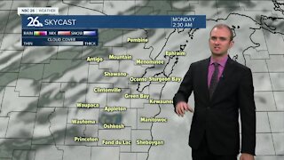
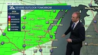
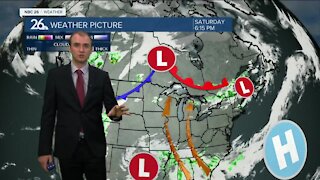
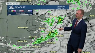
Even though the calendar says fall, looking outside the window this morning, we are seeing winter. The first area-wide snowfall event of the season has arrived. By daybreak about a dusting to an inch has fallen across the Northeast Wisconsin. Total snowfall accumulation reaches 0.7 inches on average for Green Bay this early in the season. We will likely be above this number by the time the snow ends. A winter weather advisory remains in effect until noon today for most of Northeast Wisconsin with the exception of Green Lake, Marquette, Fon Du Lac, and Sheboygan Counties. Some lake influence will result in higher totals along the lakeshore than further inland. Steady snowfall this morning will give way to a lull in activity later this afternoon as a low pressure moves through the Midwest. As the storm system begins to lift out of the area this evening, another round of some light to at times, moderate snow showers will return from the north. All snow showers should move out of the area by the early predawn hours of Saturday. Snowfall totals will be between 1 and 2 inches away from the lakeshore. 2-4 inches is anticipated along the lakeside with some localized higher totals near 5 inches possible, especially in parts of Door County. Winds will be another main story with this storm system. West and northwest winds between 10 to 20 mph with gusts between 30 to possibly even 40 mph will begin in the afternoon and continue into the real early hours of Saturday. High temperatures today will be right around 30 to 32 degrees. Tonight we will cool down into the mid 20s. Tomorrow we will remain under mostly cloudy skies with high temperatures in the upper 20s and lower 30s. Sunday calls for cloudy skies and temperatures in the mid 30s with some passing flurries at times.
-
 1:45
1:45
WGBA
7 months agoFond du Lac Cardinals start the football season with a new $5.3 million nest
65 -
 3:50
3:50
WGBA
2 years agoGino Recchia NBC26 Weather Forecast
4 -
 4:29
4:29
WGBA
2 years agoGino Recchia NBC26 Weather Forecast
3 -
 3:36
3:36
WGBA
2 years agoGino Recchia NBC26 Weather Forecast
7 -
 3:18
3:18
WGBA
2 years agoGino Recchia NBC26 Weather Forecast
8 -
 3:56
3:56
WGBA
2 years agoGino Recchia NBC26 Weather Forecast
3 -
 4:22
4:22
WGBA
2 years agoGino Recchia NBC26 Weather Forecast
3 -
 3:46
3:46
WGBA
2 years agoGino Recchia NBC26 Weather Forecast
8 -
 3:33
3:33
WGBA
2 years agoGino Recchia NBC26 Weather Forecast
3 -
 3:31
3:31
WGBA
2 years agoGino Recchia NBC26 Weather Forecast
2