NBC26 Storm Shield Weather Forecast
5 years ago
6
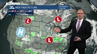
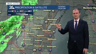
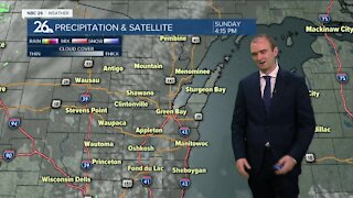
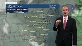
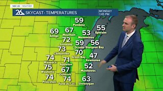
We are going to be gradually cooling down into the mid/upper 30s tonight. Widespread frost is likely NW of the Fox Valley with patchy frost elsewhere away from the Lake. High pressure will be moving in for the weekend so we should remain dry both days. Sunday could have some more clouds than Saturday. High temperatures on Saturday will be in the lower to mid 60s. Fall officially arrives at 8:54 pm Saturday. On Sunday a little warmer, with highs in the mid to upper 60s. We are going back into the lower 70s to start off the work week. Another round of showers and thunderstorms will push through Tuesday. High temperatures will be in the upper 60s and lower 70s. It's looking like a bigger blast of cool air will work in for next
Loading comments...
-
 0:30
0:30
WGBA
1 year agoThree Degree Guarantee
188 -
 3:34
3:34
WGBA
3 years agoGino Recchia NBC26 Weather Forecast
11 -
 4:01
4:01
WGBA
3 years agoGino Recchia NBC26 Weather Forecast
15 -
 3:11
3:11
WGBA
3 years agoGino Recchia NBC26 Weather Forecast
5 -
 3:33
3:33
WGBA
3 years agoGino Recchia NBC26 Weather Forecast
4 -
 3:45
3:45
WGBA
3 years agoGino Recchia NBC26 Weather Forecast
1 -
 4:02
4:02
WGBA
3 years agoGino Recchia NBC26 Weather Forecast
8 -
 3:46
3:46
WGBA
3 years agoGino Recchia NBC26 Weather Forecast
6 -
 3:46
3:46
WGBA
3 years agoGino Recchia NBC26 Weather Forecast
15 -
 2:44
2:44
WGBA
3 years agoGino Recchia NBC26 Weather Forecast
5