NBC26 Storm Shield Weather Forecast
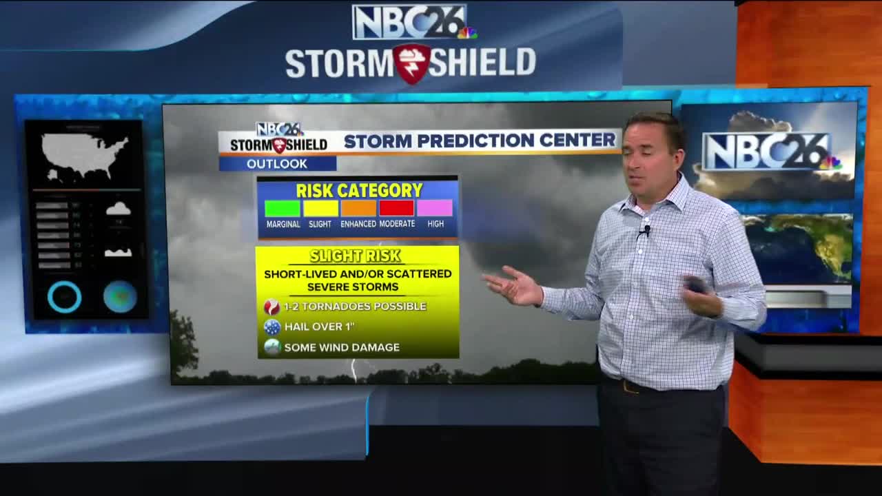
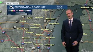
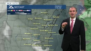
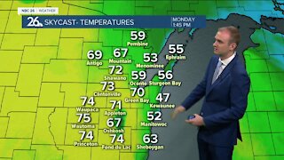
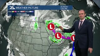
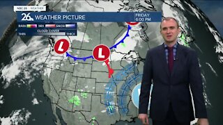
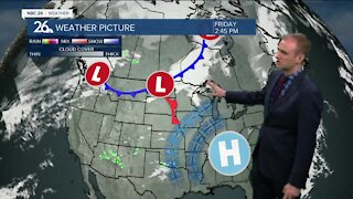
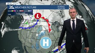
Today into tonight's weather is all going to depend on how far north a warm front gets into the area, and how much sun will come out to the south of it. Ether way, a strong area of low pressure will be approaching NE Wisconsin, possibly bringing parts of the area into what's known as "the warm sector" during the afternoon. After the morning showers move out, we'll have to see what redevelops in the afternoon. Anything that would could be strong to severe. Highs could top out near 80 well to the south with more humidity and breezy conditions there. That threat of strong to severe T'storms will continue into tonight night with locally heavy rainfall possible. This is all going to depend how far we make it into the warm sector of this system, where the warm front sets up, and how quickly the cold front will pass through. Some folks who didn't make it to 80 during the day, might see your temps rise to 80 through the evening, then fall a bit overnight. Friday will become much cooler as the day wears on with temperatures falling through the 60s into the 50s as the afternoon wears on. It will be windy with mostly cloudy skies. Friday night is going to be a chilly one with possibly some patchy frost in spots well to the north and west. Lows will be around 40, with 30s possible north and west. Saturday looks cooler and quiet with highs in the low-60s with plenty of sun. Sunday will also be dry with highs in the mid-60s.
-
 0:30
0:30
WGBA
1 year agoThree Degree Guarantee
301 -
 3:34
3:34
WGBA
4 years agoGino Recchia NBC26 Weather Forecast
11 -
 3:11
3:11
WGBA
4 years agoGino Recchia NBC26 Weather Forecast
5 -
 3:33
3:33
WGBA
4 years agoGino Recchia NBC26 Weather Forecast
4 -
 3:45
3:45
WGBA
4 years agoGino Recchia NBC26 Weather Forecast
1 -
 4:02
4:02
WGBA
4 years agoGino Recchia NBC26 Weather Forecast
8 -
 3:46
3:46
WGBA
4 years agoGino Recchia NBC26 Weather Forecast
6 -
 3:46
3:46
WGBA
4 years agoGino Recchia NBC26 Weather Forecast
15 -
 2:44
2:44
WGBA
4 years agoGino Recchia NBC26 Weather Forecast
5 -
 3:12
3:12
WGBA
4 years agoGino Recchia NBC26 Weather Forecast
2