Premium Only Content
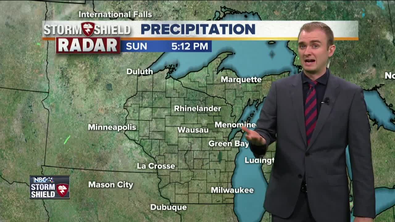
Gino Recchia NBC26 Storm Shield Weather Forecast
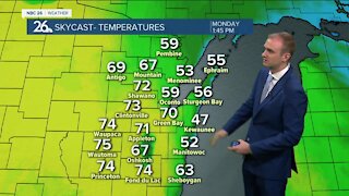
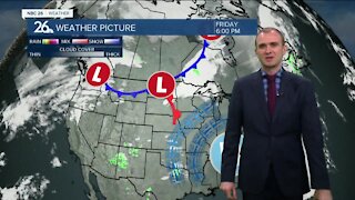
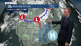
We have one more day of the summer warmth before this dome of abnormally warm temperatures collapses and brings Northeast Wisconsin back to the normal temperatures for this time of year. We are south of a storm complex situated over Northern Minnesota at this time. That storm system will sweep a cold front through the area tomorrow evening shifting the warm air south. Tonight we will cool off to the mid and lower 60s under mostly clear skies and light winds out of the southwest around 5 to 10 mph. Winds will continue to blow out of the southwest tomorrow as we warm up into the mid 80s under a sunny skies and also humid as well. In the evening as the cold front passes through, there will be a risk of a few showers and thunderstorms. Winds will also shift to the northeast behind the frontal boundary. The pattern will set up from Tuesday through Friday morning where periodic showers and thunderstorms will exist from storm complexes passing through the region. Rainfall totals by Friday morning will reach near or exceed two inches in some locations.
-
 0:30
0:30
WGBA
1 year agoThree Degree Guarantee
369 -
 3:34
3:34
WGBA
4 years agoGino Recchia NBC26 Weather Forecast
11 -
 3:11
3:11
WGBA
4 years agoGino Recchia NBC26 Weather Forecast
5 -
 3:33
3:33
WGBA
4 years agoGino Recchia NBC26 Weather Forecast
4 -
 3:45
3:45
WGBA
4 years agoGino Recchia NBC26 Weather Forecast
1 -
 3:46
3:46
WGBA
4 years agoGino Recchia NBC26 Weather Forecast
6 -
 4:02
4:02
WGBA
4 years agoGino Recchia NBC26 Weather Forecast
8 -
 3:46
3:46
WGBA
4 years agoGino Recchia NBC26 Weather Forecast
15 -
 2:44
2:44
WGBA
4 years agoGino Recchia NBC26 Weather Forecast
5 -
 3:12
3:12
WGBA
4 years agoGino Recchia NBC26 Weather Forecast
2