Premium Only Content
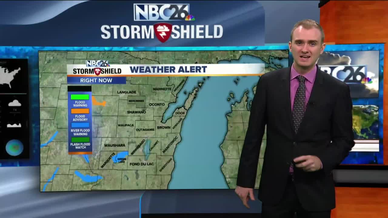
Gino Recchia NBC26 Storm Shield Weather Forecast
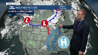
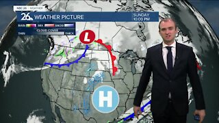
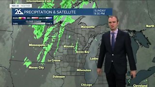
We are seeing quite the change in the weather pattern today after the third wettest start for September in Green Bay History. 1964 and 1889 beat this years rainfall. High pressure in Canada was drawing in northeast winds to the area. These winds kept our high temperatures into the upper 60s and lower 70s. It was the coolest day since 29th, so not too long ago which we had a high of 69 degrees. With calm winds and northeast winds tonight, any of the mild air we saw today will escape into the atmosphere. Overnight lows will dip into the upper 40s and lower 50s. Tomorrow will be almost a carbon copy of todays weather, high temperatures in the upper 60s and lower 70s with northeast winds around 5 to 10 mph. High pressure stick around though the weekend. That means we will keep things dry and comfortable with highs in the upper-60s to low-70s. That would mean it will be a great weekend to do things outside! It looks clear & comfortable for Sunday Night Football at Lambeau. Temps will be falling through the 60s into the 50s. GO PACK GO! We will start to wam back up a little towards midweek next week. No rainfall is in the forecast over the next 7 days. The closest storm system will be the remnants of tropical storm Gordon which will pass to the southeast of us.
-
 3:36
3:36
WGBA
1 year agoWill it be necessary to have both the AC & the heat on during the same day??
3831 -
 3:46
3:46
WGBA
4 years agoGino Recchia NBC26 Weather Forecast
6 -
 4:02
4:02
WGBA
4 years agoGino Recchia NBC26 Weather Forecast
8 -
 3:46
3:46
WGBA
4 years agoGino Recchia NBC26 Weather Forecast
15 -
 2:44
2:44
WGBA
4 years agoGino Recchia NBC26 Weather Forecast
5 -
 3:12
3:12
WGBA
4 years agoGino Recchia NBC26 Weather Forecast
2 -
 4:48
4:48
WGBA
4 years agoGino Recchia NBC26 Weather Forecast
4 -
 2:08
2:08
WGBA
4 years agoGino Recchia NBC26 Weather Forecast
9 -
 3:33
3:33
WGBA
4 years agoGino Recchia NBC26 Weather Forecast
3 -
 3:26
3:26
WGBA
4 years agoGino Recchia NBC26 Weather Forecast
6