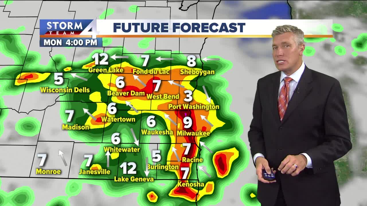
Humid Labor Day with afternoon storms likely
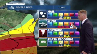
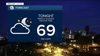
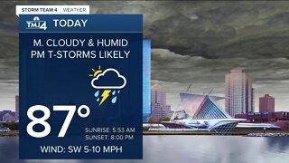
This weekend has been very warm and humid with highs today in the upper 80s in Milwaukee and the heat index in the mid 90s. At least the clouds blocked the sun at times. Scattered downpours and t’storms fired up late afternoon and will be with until around midnight. The severe risk is marginal at best, but there could be some flash flooding concerns in our northern counties with these downpours and already soaked ground. We stay mostly cloudy and very humid tonight with lows near 70. Labor Day will start out dry, but expect more showers and t’storms in the afternoon and evening. Once again, the severe risk is minimal, but at least an inch of rain is expected across most of SE Wisconsin. High temps will be near 80 before a SE breeze develops in the afternoon. Tuesday morning has a slight chance for showers, otherwise it is partly cloudy, warm and humid with highs in the mid 80s. Tuesday is the driest day of the week. As a cold front approaches on Wednesday, afternoon showers and t’storms are likely with more heavy rain. High temps on Wednesday will be near 80 with dew points in the lower 70s. Behind the cold front, Thursday is cooler and less humid with highs in the upper 60s and spotty showers. Friday is cool and less humid with highs in the 60s and a few showers as well.
-
 0:28
0:28
WTMJMilwaukee
1 year agoFired Rainbowland teacher files First Amendment lawsuit
8371 -
 3:01
3:01
WTMJMilwaukee
4 years agoSevere storms likely Monday afternoon
8 -
 1:59
1:59
WEWS
4 years agoExpect afternoon storms, lightning
5 -
 3:20
3:20
WEWS
4 years agoPower of 5 Weather team tracking afternoon storms
10 -
 2:22
2:22
WXYZ
4 years agoLabor Day forecast and tracking storms
9 -
 2:59
2:59
WXYZ
5 years agoWarm, humid with storms possible
8 -
 2:44
2:44
WTMJMilwaukee
4 years agoThunderstorms likely Monday afternoon
9 -
 2:24
2:24
WMAR
4 years agoAfternoon Bay Breeze Storms
13 -
 2:44
2:44
WMAR
4 years agoHot & Humid Leads to Storms
35 -
 1:21
1:21
sarah2020
4 years agoAfternoon Nap with parrots
157