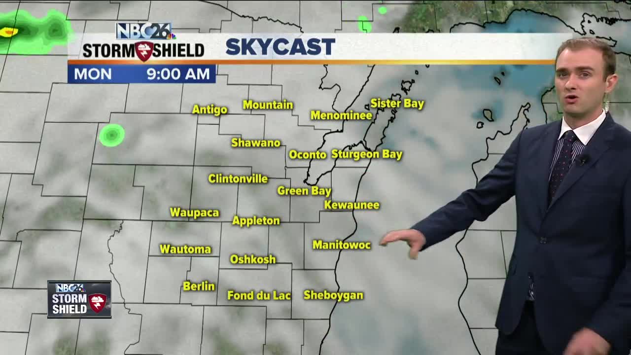
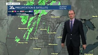
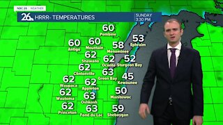
Gino Recchia NBC26 Storm Shield Weather Forecast
Skies will increase in coverage tonight as our next storm system begins to move into our area. Temperatures will drop into the lower 60s with calm winds. Showers and thunderstorms will bring beneficial rainfall to the area Monday with a storm system lifting up from the south. Showers and storms will carry over into Tuesday morning and even perhaps the afternoon before we dry out later Tuesday evening. Rainfall amounts right now appear to be highest farther south you go with some locations potentially picking up several inches of rainfall. A flood watch has been issued for Fond Du Lac And Sheboygan County because of this impending storm system and the potential for heavy rainfall which could result in flooding. A period of dry weather will return on Wednesday through Friday with highs in the mid 70s to lower 80s. Another chance of storms could return next weekend but there remains some questions regarding the timing and the coverage.
-
 1:45
1:45
WGBA
1 year agoFond du Lac Cardinals start the football season with a new $5.3 million nest
385 -
 3:46
3:46
WGBA
4 years agoGino Recchia NBC26 Weather Forecast
15 -
 2:44
2:44
WGBA
4 years agoGino Recchia NBC26 Weather Forecast
5 -
 3:12
3:12
WGBA
4 years agoGino Recchia NBC26 Weather Forecast
2 -
 4:48
4:48
WGBA
4 years agoGino Recchia NBC26 Weather Forecast
4 -
 2:08
2:08
WGBA
4 years agoGino Recchia NBC26 Weather Forecast
9 -
 3:33
3:33
WGBA
4 years agoGino Recchia NBC26 Weather Forecast
3 -
 3:26
3:26
WGBA
4 years agoGino Recchia NBC26 Weather Forecast
6 -
 3:19
3:19
WGBA
4 years agoGino Recchia NBC26 Weather Forecast
4 -
 3:42
3:42
WGBA
4 years agoGino Recchia NBC26 Weather Forecast
5