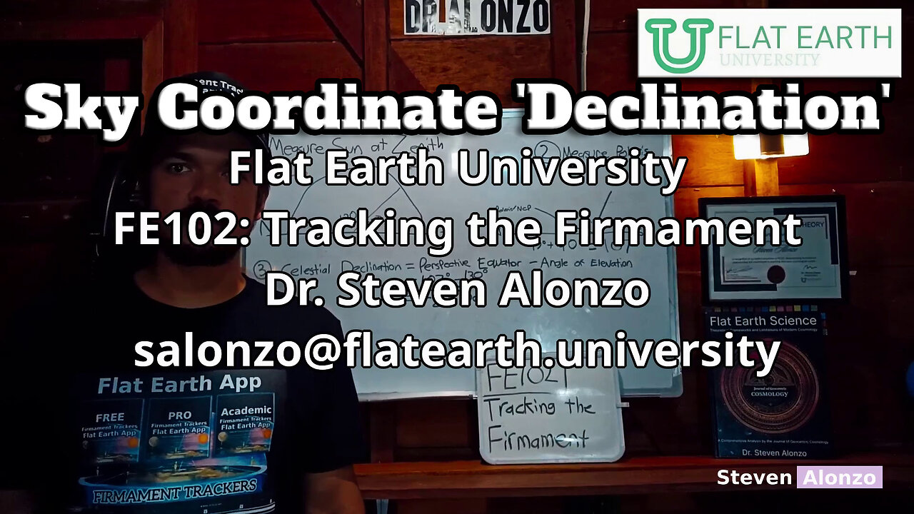
Calculate the Sky Coordinate "Declination" of any object using Flat Earth Math
"Celestial Declination" is a sky coordinate used to determine where an object is on the Firmament above us. The sky coordinate maps to a land coordinate with a 1:1 ratio. For example in December when we have a Celestial Declination of -23 for the Sun, this means the Sun is also above the Tropic of Capricorn which is -23S latitude.
Explore advanced concepts of Flat Earth Science as we quantify the Firmament, learn the Celestial Sphere, and preform mathematics on our perspective.
FE102: Tracking the Firmament
https://students.flatearth.university/courses/fe102
The Firmament Trackers Pro version on Android lets you plot multiple observers, planets, stars, location auto search, torus field, and more. https://play.google.com/store/apps/details?id=io.journalofgeocentriccosmology.flatearthapp&hl=en-US
Purchase the Firmament Trackers iMac Web and Windows Desktop Laptop version https://firmamenttrackers.com/academic-version/ this is a 4th Generation Flat Earth model allowing multiple observers, planets (wandering stars), location auto search features, plotting locations, etc.
© 2025 Journal of Geocentric Cosmology LLC
-
 2:51
2:51
Flat Earth University
5 months agoFirmament Trackers iOS App is Live – I Need Your Help Testing It!
260 -
 LIVE
LIVE
Rallied
2 hours ago $0.66 earnedWarzone Solo Challenges then RedSec Domination
140 watching -
 2:34:30
Red Pill News
5 hours agoBoomerang Time - DOJ Investigating BLM Fraud on Red Pill News Live
30.2K10 -
 1:46:14
Roseanne Barr
5 hours ago“The Over Emotional Are Always Under Informed” | The Roseanne Barr Podcast #121
70.9K43 -
 3:24:28
Nerdrotic
7 hours ago $9.50 earnedThe WitcHER DOA | Box Office Massacre | Massive Industry Layoffs - Friday Night Tights 378
39.3K7 -
 14:54
14:54
IsaacButterfield
15 hours ago $3.48 earnedShe Called Out “Creepy Men It Didn’t End Well
20.7K42 -
 11:43:21
LFA TV
23 hours agoLIVE & BREAKING NEWS! | FRIDAY 10/31/25
187K46 -
 1:08:42
vivafrei
5 hours agoEric Swalwell in Trouble Again? RFK Jr. "Reverses Course" on Tylenol & Autism? Arctic Frost & MORE!
80.8K35 -
 1:19:51
DeVory Darkins
7 hours agoNewsom EXPOSED after latest bombshell and Democrats pulls shocking stunt regarding shutdown
79.2K37 -
 25:29
25:29
Stephen Gardner
5 hours ago💣 Trump White House UNEXPECTED Move + Thune DESTROYS Schumer on Senate Floor!!
35.5K32