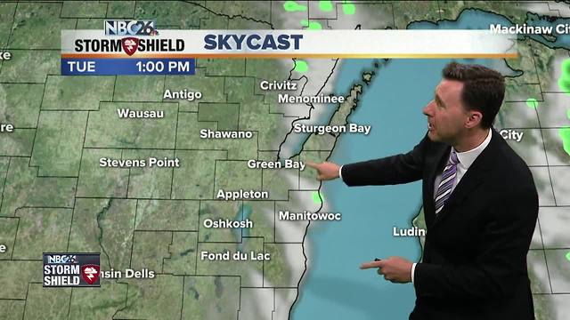
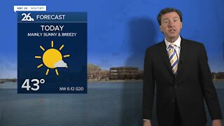
Michael Fish's NBC26 Storm Shield weather forecast
Today we're going to have a very weak frontal boundary slowly working its way through the area. This could touch off an isolated shower mainly in the afternoon, but most of your day should be okay. Highs will top out in the mid-80s, though possibly becoming a bit cooler along Lake Michigan. As this moves out, and with the loss of daytime heating, any stray shower would end in the evening, then the skies will clear out. Lows will bottom out in the low-60s. Wednesday, our next more significant weather-maker will be on the way. This could trigger an afternoon T'storm, but most of the activity looks to hold off until the nighttime. It'll be warm again with highs in the mid-80s. Our best chance of showers and T'storms will be Wednesday night as that system pushes through with a cold front. Lows will bottom out in the low-60s. Get ready for some cooler, drier air on Thursday with highs only in the low- to mid-70s. With some even colder air aloft, we could touch off an isolated shower. This cooler air hangs around on Friday as well.
-
 1:45
1:45
WGBA
1 year agoFond du Lac Cardinals start the football season with a new $5.3 million nest
360 -
 2:19
2:19
WGBA
4 years agoMichael Fish's NBC 26 weather forecast
3 -
 2:26
2:26
WGBA
4 years agoMichael Fish's NBC 26 weather forecast
4 -
 2:27
2:27
WGBA
4 years agoMichael Fish's NBC 26 weather forecast
4 -
 2:24
2:24
WGBA
4 years agoMichael Fish's NBC 26 weather forecast
3 -
 1:57
1:57
WGBA
4 years agoMichael Fish's NBC 26 weather forecast
2 -
 2:31
2:31
WGBA
4 years agoMichael Fish's NBC 26 weather forecast
7 -
 1:50
1:50
WGBA
4 years agoMichael Fish's NBC 26 weather forecast
4 -
 2:27
2:27
WGBA
4 years agoMichael Fish's NBC 26 weather forecast
1 -
 2:42
2:42
WGBA
4 years agoMichael Fish's NBC 26 weather forecast
3