Premium Only Content

Exploration on the salt lake part 1
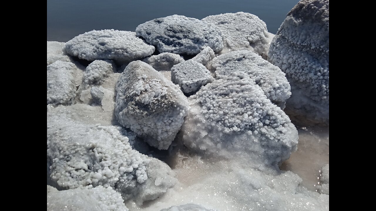
At first, Kuyalnik was used as a natural reserve for salt mining. In the Middle Ages, it was valued almost as much as gold. Salt was collected as a tribute and was also used as a salary. For a long time, salt was an item of exchange not only in Europe, but also far beyond its borders. Then the healing properties of mud from the Kuyalnik estuary were discovered. Since then, for almost two centuries, the Odessa Dead Sea has attracted attention as a mud resort. It all began with small wooden barracks in the first third of the 19th century. By the end of the 19th century, a steam tram was brought to the estuary, a mud therapy complex was built, which has survived to this day, and about thirty private dachas appeared here.
Odessa owes the creation of a modern resort on Kuyalnik to Dr. Erast Stepanovich Andrievsky. A small monument to Andrievsky still stands near the entrance to the building of the old mud baths, although “well-wishers” knocked down the plaque to the doctor and founder of the resort. But the history of Kuyalnik is much older than the two-century history of the hospital.
Erast Andrievsky was the personal doctor of Mikhail Vorontsov, it was his patronage that allowed the young doctor to spend a lot of time doing research on the estuary.
The word “kuyalnik” may come from the Turkic “kuyanlyk” (which means “thick” - author). And now the closest in root is the word “kalın” from the modern Turkish language. The version with the “thick” waters of the estuary is confirmed by historical information. Until the middle of the 19th century, sailors were advised to periodically raise their anchors when moored in the Odessa Gulf so that they would not sink into the viscous soil.
In the 15th century, the Genoese entered the estuary. The anchors found are covered with a thick layer of mollusks, which are typical for the Black Sea. This means that Italian merchants used the estuary as a natural anchorage, protected from bad weather. In fact, the estuary had channels that connected it to the sea until the mid-1920s, and at the beginning of the 19th century it was even connected to the Odessa Gulf.
It is most interesting to look at the evolution of the estuary on old maps. Thus, on the 1688 map by Johannes Hoffman “Die Donau, der Fürst aller Europaeischen Flüsse” we will not see the usual lake, but there are two bays on the site of today's Odessa (see the Ginestra mark - author). The 1701 map called “Sarmatia” has a mark “Axiaces Flu” (possibly this is the current Bolshoy Kuyalnik River). There is also a mark “Odeßus fiue”. In the 1615 treatise-dictionary “Axiaces Flu” is deciphered as “Salina Cuya boca corre en el mar mayor” (“saline solution, the mouth of which flows into the sea”, translated from Spanish - author). But the 1756 map called “Theatrum belli Rußorum Victoriis illustratum sive Nova et accurata Turcicarum et Tartaricum” already shows two isolated lakes, one of which is Kuyalnik.
-
 1:14:05
Tucker Carlson
20 hours ago“I’ll Win With or Without You,” Teamsters Union President Reveals Kamala Harris’s Famous Last Words
244K388 -
 1:58:31
The Dilley Show
20 hours ago $37.78 earnedTrump Conquering Western Hemisphere? w/Author Brenden Dilley 12/23/2024
179K50 -
 1:09:59
Geeks + Gamers
21 hours agoSonic 3 DESTROYS Mufasa And Disney, Naughty Dog Actress SLAMS Gamers Over Intergalactic
122K21 -
 51:59
51:59
The Dan Bongino Show
22 hours agoDemocrat Donor Admits The Scary Truth (Ep. 2393) - 12/23/2024
961K3.23K -
 2:32:15
Matt Kohrs
1 day agoRumble CEO Chris Pavlovski Talks $775M Tether Partnership || The MK Show
149K36 -
 28:23
28:23
Dave Portnoy
1 day agoDavey Day Trader Presented by Kraken - December 23, 2024
179K47 -
 59:29
59:29
BonginoReport
1 day agoTrump, Murder Plots, and the Christmas Miracle: Evita + Jack Posobiec (Ep.110) - 12/23/2024
180K175 -
 2:59:14
Wendy Bell Radio
1 day agoNothing To See Here
140K81 -
 2:12:18
TheDozenPodcast
1 day agoIslam vs Christianity: Bob of Speakers' Corner
120K37 -
 14:36
14:36
The StoneZONE with Roger Stone
2 days agoRoger Stone Delivers Riveting Speech at Turning Point’s AMFEST 2024 | FULL SPEECH
139K36