Premium Only Content

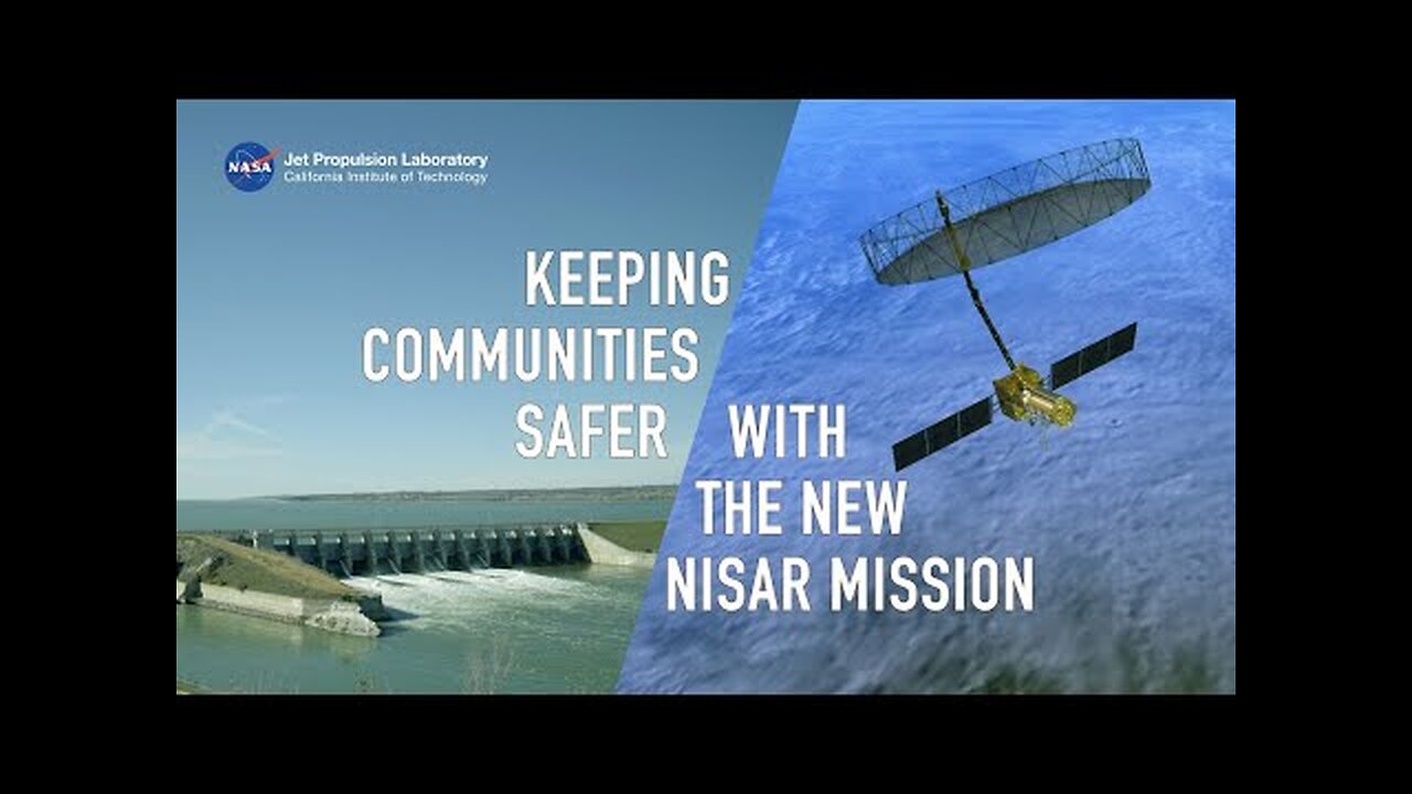
Eyes on Infrastructure How the NISAR Satellite Will Help Keep Communities Safer
A failure of key infrastructure like a dam or bridge can have disastrous consequences, but organizations around the world will soon have a new monitoring tool at their disposal. NISAR, a new satellite mission developed by NASA and ISRO (Indian Space Research Organisation), will continuously scan the globe, tracking changes to Earth’s surface and providing insights that could help efforts to mitigate risks to dams, levees, bridges, and other critical infrastructure. Hear experts working in Nebraska, South Dakota, and West Virginia describe how they plan to use NISAR data to help keep local communities safer.
Short for NASA-ISRO Synthetic Aperture Radar, NISAR features two radar instruments: one from ISRO and one built at NASA’s Jet Propulsion Laboratory in Southern California. Together, the instruments will monitor motions of Earth’s surface down to fractions of an inch, along with changes in other properties of the surface such as roughness and moisture content. Beyond the potential for protecting infrastructure, the volumes of data from NISAR will deepen scientists’ understanding of deforestation, glacier and sea-ice loss, natural hazards, climate change, and other global vital signs.
NISAR is targeted for launch in 2025 from ISRO’s Satish Dhawan Space Centre in Sriharikota, India.
-
 11:13
11:13
NASA
9 days agoBlastoff! NASA's SpaceX Crew 11 launches to space station, booster lands in Florida
55 -
 2:23:55
Barry Cunningham
14 hours agoPRESIDENT TRUMP IS NOT PLAYING AROUND...AND THE LIBNUTS CAN'T STOP HIM!
104K65 -
 22:02
22:02
Stephen Gardner
20 hours ago🔥JUST IN: Trump BETRAYAL plot EXPOSED!
128K311 -
 38:32
38:32
The Why Files
21 days agoThe Real CIA Vol. 1: 693 Pages of Secret Crimes
138K61 -
 49:12
49:12
MattMorseTV
17 hours ago $23.18 earned🔴Zelenskyy is NOT HAPPY about Trump’s NEW DEAL.🔴
131K165 -
 1:03:49
Warren Smith - Secret Scholar Society
4 days ago"You are on the brink" - My Conversation with Nick Fuentes
95.3K67 -
 8:05
8:05
Tactical Advisor
18 hours agoNEW Best Budget AR15 | PSA Guardsman (FIRST LOOK)
85.7K29 -
 8:55
8:55
Warren Smith - Secret Scholar Society
3 days agoMatt Walsh EXPOSES a Leftist's Lie So Badly She Flees the Stage
72.1K32 -
 25:05
25:05
Digital Social Hour
17 hours ago $6.58 earnedScott Jennings: The Fight for Free Speech: Scott Jennings Speaks Out
55.7K14 -
 1:29:24
Steve-O's Wild Ride! Podcast
3 days ago $5.34 earnedDarby Allin Risked His Life And Career To Climb Mt Everest | Wild Ride #262
50.3K