Michael Fish's NBC26 Storm Shield weather forecast
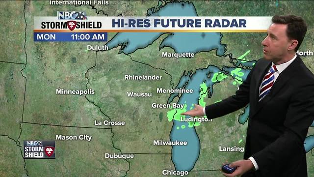
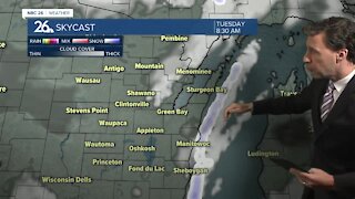
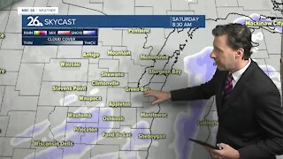
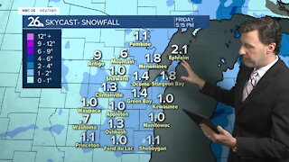
A weakening area of showers will diminish as we head through the morning hours, then the sun will be coming back. That means another hot and humid day, though if you want relief, just head over to Lake Michigan as things will be cooler there. Highs inland today will make it to around 90 today once that sun comes back. With some instability, we could touch off an isolated afternoon T'storm, but most of us should be dry for most of the afternoon. That slight chance of a shower or T'storm will continue tonight, but most of the time should just be warm, especially in the evening. Overnight lows will be in the low-60s. Most of Tuesday should be okay, but not as hot as it has been with an ENE wind coming off of Lake Michigan. Highs will top out in the low-80s with cooler readings lakeside. Tuesday night looks like it'll be partly cloudy with lows in the low-60s. Our chances of scattered showers and T'storms will increase as Wednesday progresses, mainly in the afternoon. Highs will top out in the upper-70s with cooler readings lakeside. Cooler weather returns For the rest of the week with highs getting closer to our averages for this time of year. Some showers or thunderstorms are possible again Wednesday night into Thursday as the remnants of the first named storm of the Atlantic Hurricane Season moves up the Great Lakes after making landfall this afternoon.
-
 1:57
1:57
WGBA
1 year agoHow the City of Green Bay is hoping a $1.6M investment will make the community safer for pedestrians
4742 -
 2:39
2:39
WGBA
4 years agoMichael Fish's NBC 26 weather forecast
8 -
 1:42
1:42
WGBA
4 years agoMichael Fish's NBC 26 weather forecast
6 -
 1:47
1:47
WGBA
4 years agoMichael Fish's NBC 26 weather forecast
3 -
 2:08
2:08
WGBA
4 years agoMichael Fish's NBC 26 weather forecast
26 -
 1:52
1:52
WGBA
4 years agoMichael Fish's NBC 26 weather forecast
5 -
 1:39
1:39
WGBA
4 years agoMichael Fish's NBC 26 weather forecast
8 -
 1:44
1:44
WGBA
4 years agoMichael Fish's NBC 26 weather forecast
3 -
 2:46
2:46
WGBA
4 years agoMichael Fish's NBC 26 weather forecast
5 -
 2:30
2:30
WGBA
4 years agoMichael Fish's NBC 26 weather forecast
5