Premium Only Content

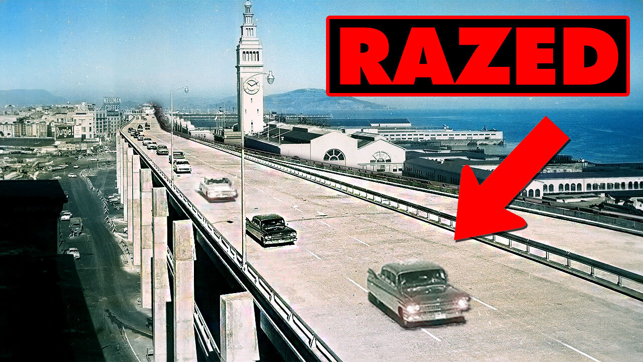
Why San Francisco Razed Embarcadero Freeway | FORGOTTEN
The Embarcadero Freeway, officially known as State Route 480, was a double-decked elevated highway in San Francisco constructed in the 1950s as part of a broader plan to develop an extensive freeway network across the city. Running along the waterfront, it connected the Bay Bridge to the northern neighborhoods but was widely criticized for cutting off the city from its historic waterfront and obstructing views. In 1989, the Loma Prieta earthquake caused significant damage to the freeway, leading to its closure. Public sentiment, which had increasingly favored preserving the city's waterfront character, led to the decision not to repair but to demolish the freeway in the early 1990s. Its removal transformed the Embarcadero area into a vibrant, pedestrian-friendly boulevard, reconnecting the city with its waterfront and sparking significant redevelopment and revitalization.
-
 9:52
9:52
It's History
1 month ago $0.12 earnedRochester's Forgotten Subway Tunnels Explained | ABANDONED
5342 -
 1:06:27
Russell Brand
1 hour agoNeil Oliver on the Rise of Independent Media, Cultural Awakening & Fighting Centralized Power –SF498
20.4K91 -
 LIVE
LIVE
vivafrei
1 hour agoSoros Karma in New York! Tammy Duckwarth Spreads LIES About Tulsi Gabbard! Pennsylvania FLIPS & MORE
3,963 watching -
 LIVE
LIVE
The Charlie Kirk Show
1 hour agoInside the Transition + The Bathroom Battle + Ban Pharma Ads? | Rep. Mace, Tucker, Carr | 11.21.24
11,749 watching -
 59:20
59:20
The Dan Bongino Show
4 hours agoBitter CNN Goes After Me (Ep. 2375) - 11/21/2024
495K1.93K -
 LIVE
LIVE
TheAlecLaceShow
2 hours agoGuests: Alex Marlow & Terry Schilling | Justice For Laken Riley | Russian ICBM | The Alec Lace Show
107 watching -
 LIVE
LIVE
Danny Haiphong
1 hour agoMARK SLEBODA & SCOTT RITTER: NATO ATTACKS RUSSIA, PUTIN FIRES ICBM WARNING SHOT AT UKRAINE—WW3 NEXT?
926 watching -
 40:47
40:47
Dave Portnoy
4 hours agoThe Unnamed Show With Dave Portnoy, Kirk Minihane, Ryan Whitney - Episode 37
10.7K1 -
 51:53
51:53
The Rubin Report
2 hours agoCrowd Shocked by Ben Affleck’s Unexpected Take on This Massive Change
24.7K32 -
 2:07:25
Steven Crowder
4 hours agoBREAKING: Russia Launches ICBM for First Time in History - What Happens Next?
297K176