Gino Recchia NBC26 Storm Shield Weather Forecast
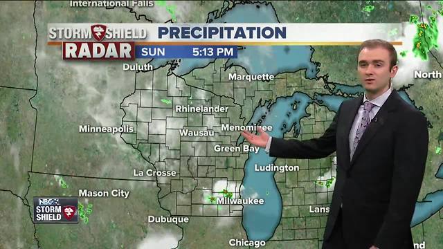
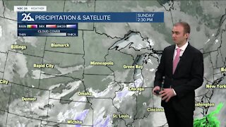
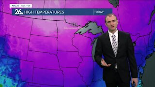
It is the third consecutive day that high temperatures in Green Bay have been shattered. This is also the first time in recorded history that Green Bay has observed back to back days of 90 degrees or greater. The high temperature of 95 this afternoon is the 2nd hottest 90 degree day ever recorded in Green Bay History. The hottest was 99 degrees back on May 31st of 1934. Several dates are tied for 3rd place with highs of 92 degrees yesterday, back in 1939, and in 1934. A few pop up showers and thunderstorms developed this afternoon around Sheboygan County but quickly exited the viewing area to the southeast. Temperatures tonight will cool down into the lower 60s and upper 50s under partly cloudy skies and light winds out of the west and southwest. Memorial Day's forecast will have a mixture of observed weather. Starting in the morning, clouds will be on the increase with showers and isolated thunderstorms passing through. The best spot to see any showers or storms will be north of Highway 10. This cluster of showers and storms is coming from Minnesota and is expected to weaken as it approaches our area.
-
 3:36
3:36
WGBA
1 year agoWill it be necessary to have both the AC & the heat on during the same day??
3951 -
 4:01
4:01
WGBA
4 years agoGino Recchia NBC26 Weather Forecast
17 -
 3:39
3:39
WGBA
4 years agoGino Recchia NBC26 Weather Forecast
15 -
 3:41
3:41
WGBA
4 years agoGino Recchia NBC26 Weather Forecast
5 -
 2:44
2:44
WGBA
4 years agoGino Recchia NBC26 Weather Forecast
6 -
 3:31
3:31
WGBA
4 years agoGino Recchia NBC26 Weather Forecast
6 -
 3:30
3:30
WGBA
4 years agoGino Recchia NBC26 Weather Forecast
7 -
 3:26
3:26
WGBA
4 years agoGino Recchia NBC26 Weather Forecast
6 -
 3:20
3:20
WGBA
4 years agoGino Recchia NBC26 Weather Forecast
9 -
 3:55
3:55
WGBA
4 years agoGino Recchia NBC26 Weather Forecast
4