Premium Only Content

What is a Nautical Mile?
What is a Nautical Mile?
The origins of the nautical mile trace back to ancient seafaring civilizations, where mariners relied on celestial observations and instruments like astrolabe, magnetic compass, chip logs and sextant to navigate vast expanses of open water. Measuring angles to/with the stars/Sun/Moon along the celestial sky dome (above the flat earth plane) was a basic navigation technique used to determine the position of ships at sea. Latitude was measured using an angle with Polaris and a chronometer was used to determine longitude.
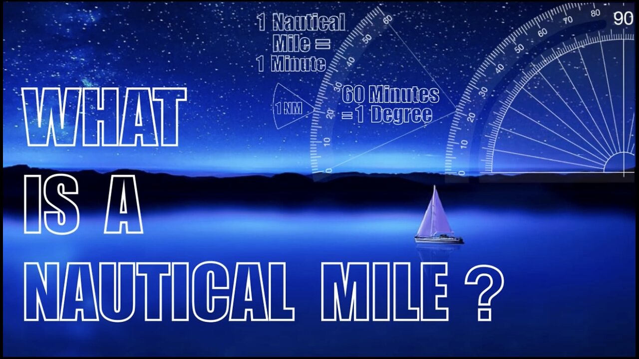
So a Nautical Mile (also called a "minute-mile") is a distance travelled by a ship at sea in one arc minute when measured along the 180° celestial sky dome around us. One nautical mile corresponds to one minute of latitude (and one degree is 60 minutes or 60 nautical miles) and it has absolutely nothing to do with the globe Earth or it's circumference.
Initially, Spanish, French, Dutch and British navigators measured different values of the nautical mile, but at the International Hydrographic Conference in 1929 it was fixed to 1852 metres.
1 Nautical Mile = 1.15 Statute Miles = 1852 Meters
Nautical miles are used at sea and in the air because both sailors and airmen use degrees of latitude and longitude as their position coordinates and they need to use flat paper charts (or the 2D electronic equivalent). The big point about using nautical miles (and their corresponding speed unit, knots) is to make chart reading quicker. Charts have the Latitude and Longitude grid printed on them. The grid spacing that equals one minute of latitude also equals one nautical mile.
-
 10:22
10:22
Dr Disrespect
2 days agoDR DISRESPECT - 2024 RECAP
39.1K75 -
 18:03
18:03
Neil McCoy-Ward
5 hours agoThe US 'INCIDENTS' Are just The Tip Of The Iceberg...
7292 -
 1:33:19
Tactical Advisor
4 hours agoThe Vault Room Podcast 007 | Terrorist Attacks Update
36.9K2 -
 18:08
18:08
ROSE UNPLUGGED
22 hours agoAn Air of Optimism for 2025: Can You Feel It?
4191 -
 LIVE
LIVE
The Charlie Kirk Show
1 hour agoThe 2025 Speaker Election + DEI FBI + Britain's Grooming Gangs | Gaetz, Gilliam, Marshall | 1.3.2025
12,769 watching -
 42:43
42:43
Grant Stinchfield
4 hours ago $2.81 earnedThe Left's Will Evil Plot to Prevent Trump from Taking Office Exposed!
13K11 -
 52:32
52:32
The Dan Bongino Show
4 hours agoProducer's Picks: Bongino's Best Segments - 01/03/25
119K374 -
 56:49
56:49
VSiNLive
3 hours agoA Numbers Game with Gill Alexander | Hour 1
31.7K2 -
 1:42:46
Film Threat
17 hours ago2025 MOVIES TO LOOK FORWARD TO + JANUARY'S BEST FILMS | Film Threat Livecast
23.3K2 -
 LIVE
LIVE
The Shannon Joy Show
4 hours ago🔥🔥Friday Freestyle LIVE With Shannon Joy! Ask Me Anything On The Open Live Chat!🔥🔥
286 watching