Premium Only Content

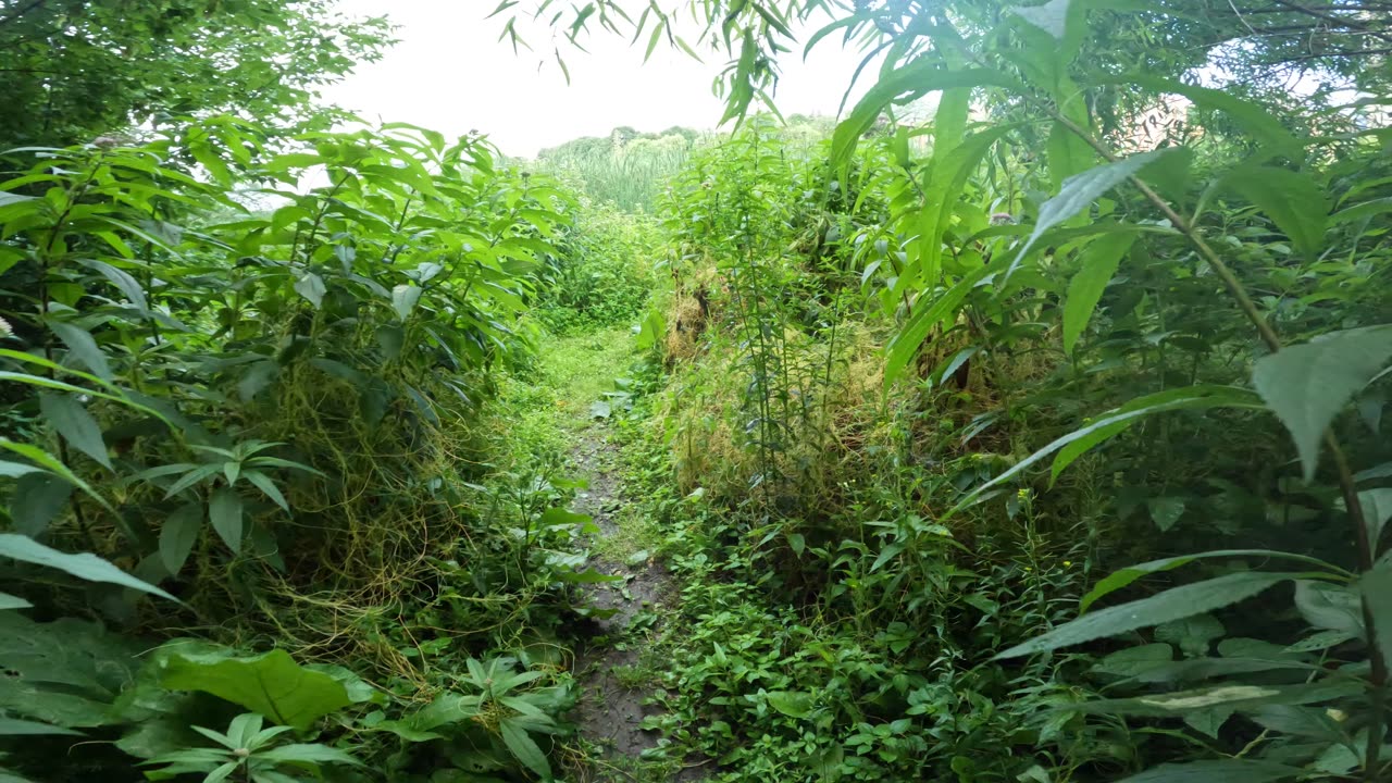
🍁 Discovering The Ottawa River #Pathway Recreational Trails 🌴
🍋🟩 Healthy4Life - 10 Trails On The Pathway.
About 30 km of the Trans Canada Trail wends its way from Kanata through the Greenbelt west of Ottawa and along the Ottawa River to downtown Ottawa.
From there the trail continues eastward across the Alexandra Bridge to Quebec.
You can start at the Vanier Parkway and St. Patrick st. and follow the river for the National Capital Commission 30km. Information provided by the National Capital Commission.
Ontario Trails do not own or manage any trails. Check with the identified manager before using this trail. Do not trespass, allowed uses only.
For more information on the great sport of snowshoeing...
The Capital Pathway is a 220-kilometre network of recreational trails that interconnects many parks, waterways, and sites in Ottawa, Ontario, and Gatineau, Quebec1. The pathway, also known as the Bike Path, was primarily developed by the National Capital Commission (NCC), a crown corporation established in 19591.
The first section of the pathway, the Ottawa River Pathway, was constructed in the early 1970s1. Over the years, the network has expanded to include various routes such as the Rideau Canal Pathway and the Rideau River Pathway1. The pathway offers a continuous route through the National Capital Region, making it one of the most extensive pathway networks in North America2.
The Capital Pathway is used for walking, jogging, cycling, and other recreational activities, providing a scenic and safe way to explore the region2. It connects numerous landmarks, including the Canadian War Museum, Parliament Hill, and Gatineau Park.
-

Game On!
17 hours ago $1.16 earnedThe 2025 NBA Draft is Tonight! Will Anyone Watch?
6.79K3 -
 LIVE
LIVE
Bitcoin Policy Institute
1 hour ago2025 Bitcoin Policy Summit
144 watching -
 1:44:17
Nick Freitas
15 hours agoThe Postwar Consensus Is Collapsing
9.32K19 -
 5:49:07
MyronGainesX
1 day ago $15.76 earnedTrump FURIOUS Over Ceasefire Violation! Here's What Happens Next In The War...
40.6K31 -
 1:39:22
BEK TV
1 day agoTrent Loos in the Morning 6/25/2025
9.85K -
 LIVE
LIVE
PudgeTV
2 hours ago🟠 Gaming on Rumble | Star Wars Battlefront 2 | Story Campaign
259 watching -
 1:02:55
Dad Dojo Podcast
6 days agoEP37: Masculinity Is Dead
2.21K1 -
 13:57
13:57
Actual Justice Warrior
19 hours agoCalifornia Employees Build Secret Apartments In Train Stations
32.4K19 -

DynastyXL
4 hours ago🧟 Day 4 Base Relocate With MrsDynasty 🧟 Building a community first 100 Followers! (54/100) 💯
4.61K1 -
 16:58
16:58
Ohio State Football and Recruiting at Buckeye Huddle
21 hours agoOhio State Basketball: Can the Buckeyes Improve in Year 2 of Jake Diebler Era?
21.3K3