Georgetown KMZ data
Topographic Analysis: San Gabriel River, Georgetown, Texas
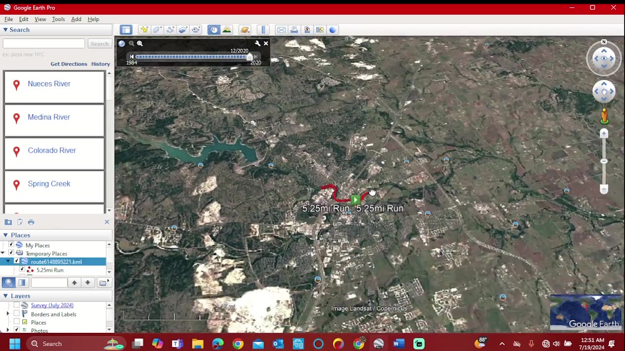
Welcome to another topographic analysis! Today, we're diving into the fascinating terrain of the San Gabriel River in Georgetown, Texas. This beautiful river winds through the heart of central Texas, offering a mix of natural beauty and geological intrigue.
1. Location and General Features
The San Gabriel River stretches approximately 90 miles, flowing from its headwaters near Georgetown down to the Brazos River. In the Georgetown area, the river meanders through diverse landscapes, including rolling hills, limestone outcrops, and expansive floodplains.
2. Topography
Georgetown sits in the northern reaches of the Texas Hill Country, characterized by its undulating terrain and limestone cliffs. The San Gabriel River basin reflects this topography, with elevations ranging from approximately 600 feet above sea level in the higher areas to around 400 feet in the lower floodplain regions near Georgetown.
3. River Dynamics
The San Gabriel River exhibits typical characteristics of a meandering river system. Its path is influenced by the underlying geology, primarily composed of limestone and occasional shale formations. Meanders are pronounced in some stretches, indicating the river's dynamic nature over geological time.
4. Floodplain and Erosion
Floodplains along the San Gabriel River are crucial ecosystems, supporting diverse flora and fauna. Periodic flooding helps replenish nutrients and shape the landscape, contributing to the river's meandering pattern and sediment deposition.
5. Human Interaction and Management
Human activities in the San Gabriel River watershed, such as urban development and agriculture, influence its hydrology and ecology. Efforts in conservation and watershed management aim to balance human needs with the preservation of natural habitats and water quality.
6. Geological Significance
The geological history of the San Gabriel River basin dates back millions of years, shaped by ancient seas and tectonic forces. Today, the exposed limestone cliffs provide a window into Texas' geological past and are integral to the region's natural beauty.
Conclusion
The San Gabriel River in Georgetown, Texas, exemplifies the intricate relationship between geology, hydrology, and human interaction. Its dynamic topography and geological features make it a captivating subject for further exploration and study.
Thank you for joining me on this topographic journey of the San Gabriel River! Don't forget to like, comment, and subscribe for more topographic analyses and geological insights. See you next time!
-
 LIVE
LIVE
NEWSMAX
4 hours agoThe Rob Carson Show LIVE (04/29/2025) | Call 1-800-922-6680 | NEWSMAX Podcasts
626 watching -
 1:03:24
Blockchain Basement
2 hours ago $0.25 earned🚨Arizona Bitcoin Reserve SIGNED! (Will Governor Strike IT DOWN?!)
6.74K1 -
 LIVE
LIVE
The Tom Renz Show
1 hour agoMAHA & Fighting Back With NHF
130 watching -
 LIVE
LIVE
TheAlecLaceShow
2 hours agoGuests: Rep. Brandon Gill & Joe Concha | Trump’s First 100 Days in Office | The Alec Lace Show
62 watching -
 1:18:15
The Rubin Report
3 hours agoPress Gasps When Told Trump’s Executive Order for Sanctuary Cities
69.2K70 -
 DVR
DVR
Flyover Conservatives
13 hours agoThe Future of AI: The Good, The Bad, The Ugly - Marc Beckman | FOC Show
15.8K -
 DVR
DVR
The Shannon Joy Show
3 hours ago🔥🔥Doctors Of Death. The Transformation Of America’s Health System Into A Death System Post COVID - With Special Guest Dr. Clayton Baker🔥🔥
17.2K2 -
 DVR
DVR
Bannons War Room
2 months agoWarRoom Live
14.6M3.96K -
 DVR
DVR
The Mel K Show
3 hours agoMORNINGS WITH MEL K - 4/29/25 Canada Chooses Globalism, Lack of Accountability is Allowing Chaos, Americans Wide Awake
14.8K3 -
 46:57
46:57
BitLab Academy
2 hours ago $1.25 earnedEthereum Mega Pump Loading? Bitcoin Price Targets | Altcoin Super cycle?
14.9K